Ballantyne Park, Ottawa
Map
Map

Facts and practical information
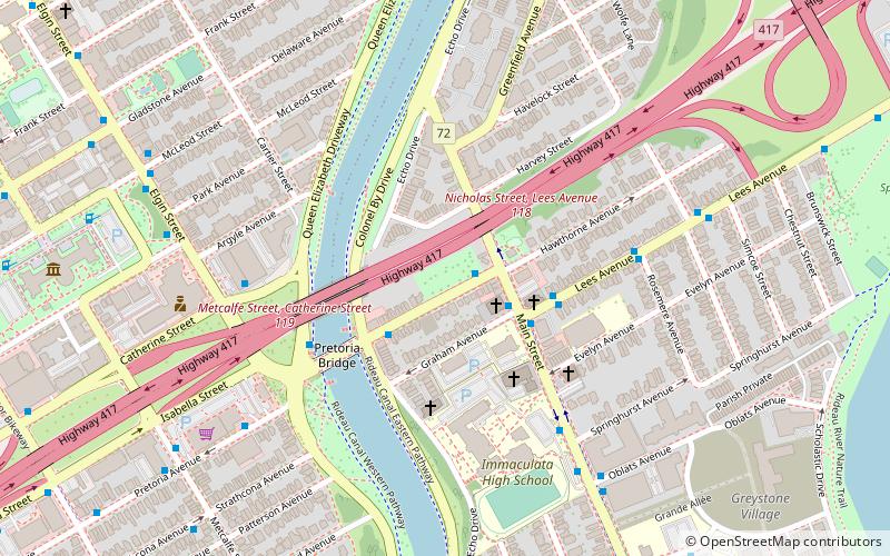
Ballantyne Park is a city park in Ottawa, Ontario, Canada. The north side of the park is bounded by the Queensway. The park is small, measuring only 100 metres long by 30 metres wide. ()
Elevation: 230 ft a.s.l.Coordinates: 45°24'45"N, 75°40'52"W
Day trips
Ballantyne Park – popular in the area (distance from the attraction)
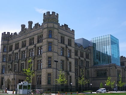
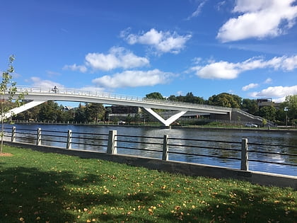
Nearby attractions include: Barrymore's, Canadian Museum of Nature, Flora Footbridge, Corktown Footbridge.
Frequently Asked Questions (FAQ)
Which popular attractions are close to Ballantyne Park?
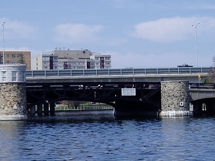
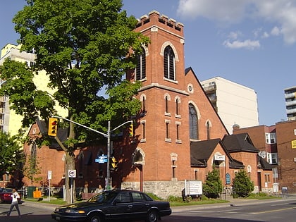
Nearby attractions include Church of the Ascension, Ottawa (4 min walk), Pretoria Bridge, Ottawa (4 min walk), Saint Paul University, Ottawa (10 min walk), Canadian Museum of Nature, Ottawa (10 min walk).
How to get to Ballantyne Park by public transport?
The nearest stations to Ballantyne Park:
Bus
Light rail
Bus
- Hawthorne / Main • Lines: 5, 55, 56 (1 min walk)
- Main / Graham • Lines: 56 (2 min walk)
Light rail
- UOttawa O-Train East/Est • Lines: 1 (15 min walk)
- Lees O-Train West/Ouest • Lines: 1 (15 min walk)

