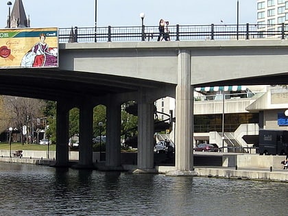
Corktown Footbridge, Ottawa
Map
Gallery

Facts and practical information
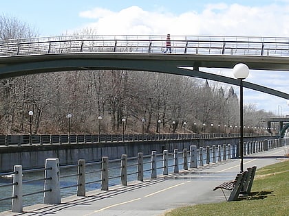
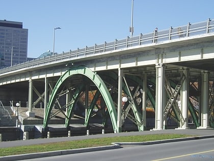
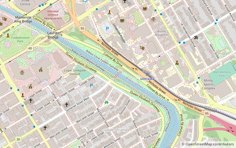
The Corktown Footbridge is a pedestrian footbridge over the Rideau Canal in Ottawa, Ontario, Canada. The 70-metre bridge is located about 400m south of the Laurier Avenue Bridge and connects the University of Ottawa campus with the Golden Triangle neighbourhood. It was opened on 21 September 2006. ()
Coordinates: 45°25'14"N, 75°41'4"W
Day trips
Corktown Footbridge – popular in the area (distance from the attraction)
Nearby attractions include: Rideau Centre, Confederation Park, Ogilvy's, National Arts Centre.
Frequently Asked Questions (FAQ)
Which popular attractions are close to Corktown Footbridge?
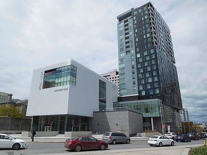
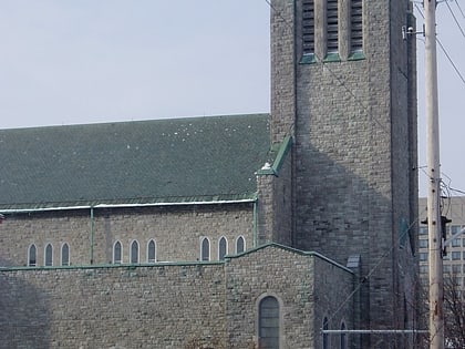
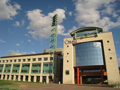
Nearby attractions include Golden Triangle, Ottawa (5 min walk), University of Ottawa, Ottawa (6 min walk), St. Theresa's Catholic Church, Ottawa (6 min walk), The Cameron Highlanders of Ottawa, Ottawa (6 min walk).
How to get to Corktown Footbridge by public transport?
The nearest stations to Corktown Footbridge:
Light rail
Bus
Light rail
- UOttawa O-Train East/Est • Lines: 1 (3 min walk)
- Rideau O-Train West/Ouest • Lines: 1 (14 min walk)
Bus
- Laurier E / Waller • Lines: 16, 39, 45, 97 (7 min walk)
- Somerset E / King Edward • Lines: 16 (7 min walk)
