Clarence Square, Toronto

Gallery (1)
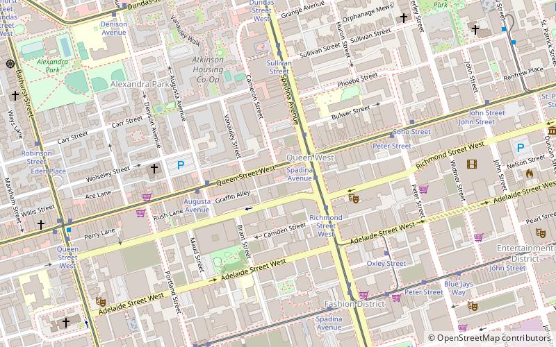
Map
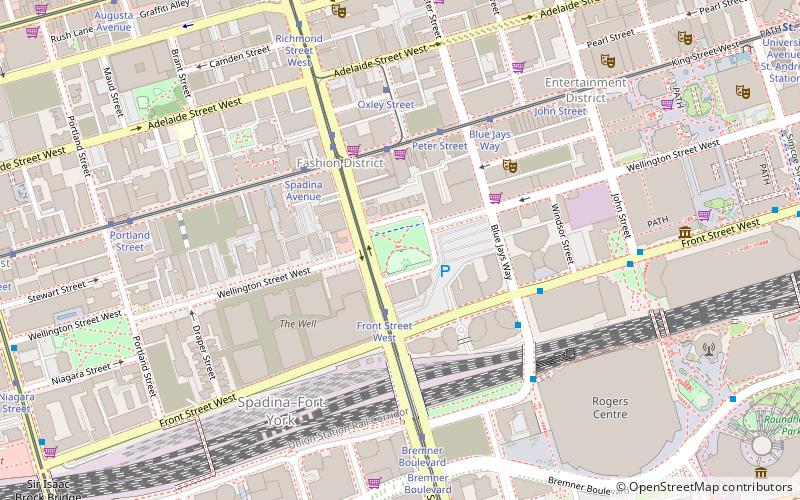
Map
Facts and practical information
Clarence Square is a small park in downtown Toronto, Ontario, Canada, where Wellington Street West meets Spadina Avenue. It is a relatively quiet and shady park, with many large trees and a spacious grassy terrain. There are several benches and picnic tables scattered throughout and a drinking fountain in the centre. ()
Elevation: 266 ft a.s.l.Coordinates: 43°38'39"N, 79°23'37"W
Getting there by public transportation
Public transportation stops near this location
- Metro
- Bus
- Tram
- Train
- Ferry
 Metro
Metro
- Calculate routeFront Street West 2 min walk
- Calculate routeSpadina Avenue 4 min walk
- Calculate routePeter Street 4 min walk
- Calculate routeSt. Andrew 13 min walk
- Calculate routeOsgoode 15 min walk
- Calculate routeUnion 18 min walk
- Calculate routeSt. Patrick 21 min walk
- Calculate routeToronto Union Station 17 min walk
- Calculate routeBathurst Street Terminal 19 min walk
- Calculate routeBilly Bishop Terminal 21 min walk
- Calculate routeJack Layton Ferry Terminal 25 min walk
- Calculate routeHanlan's Point 30 min walk
- Calculate routeKing Street West 19 min walk
- Calculate routeFront Street West 19 min walk
- Calculate routeBay Street 20 min walk
Maps SubwayMaps
 Streetcar systemMaps
 PATH
PATH
SubwayMapsStreetcar systemMapsPATHDay trips
Clarence Square – popular in the area (distance from the attraction)
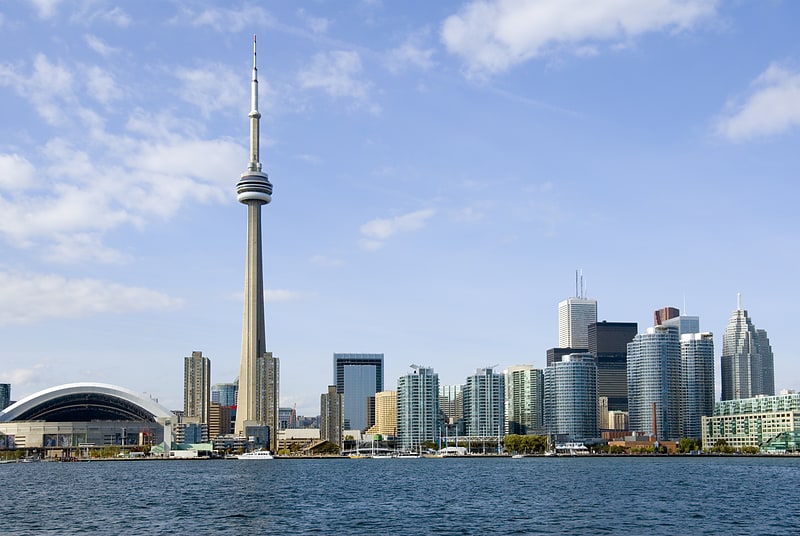
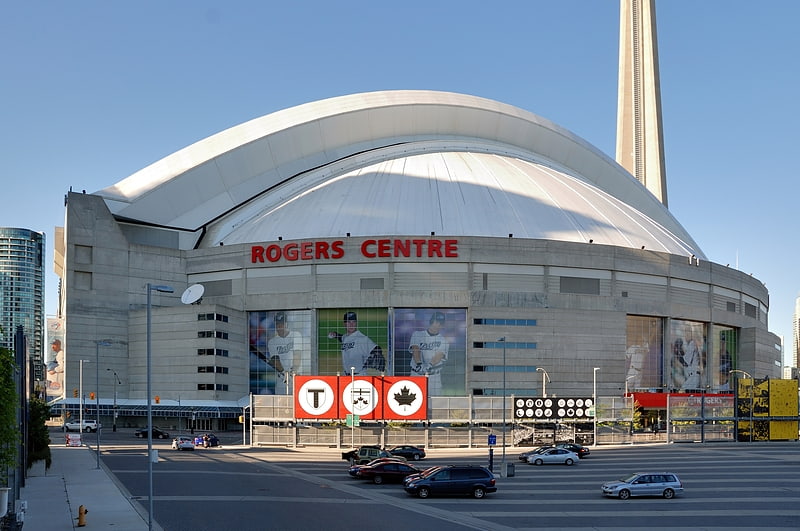
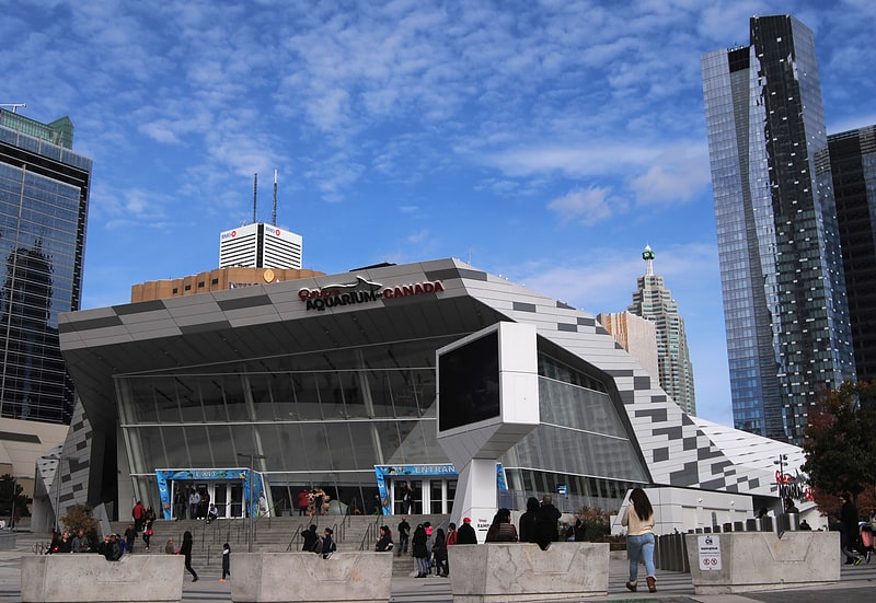
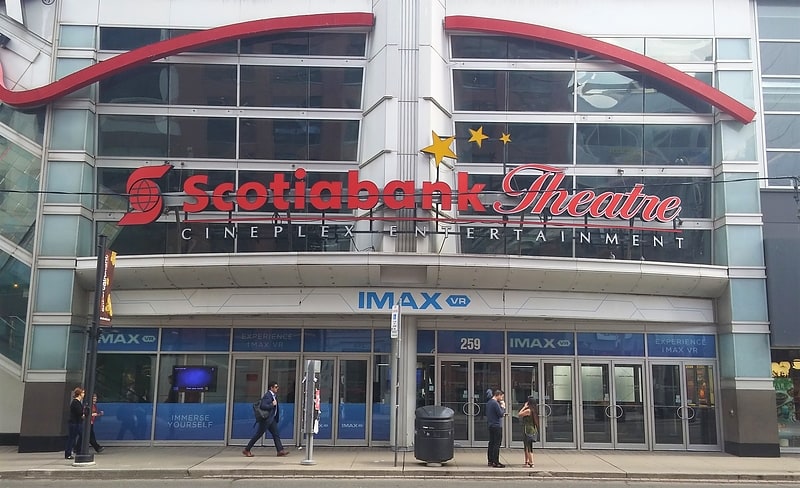
Nearby attractions include: CN Tower, Rogers Centre, Ripley's Aquarium of Canada, Scotiabank Theatre.


Frequently Asked Questions (FAQ)
Which popular attractions are close to Clarence Square?
Nearby attractions include Film Reference Library, Toronto (6 min walk), Draper Street, Toronto (7 min walk), A Space Gallery, Toronto (7 min walk), Wynick/Tuck Gallery, Toronto (7 min walk).
How to get to Clarence Square by public transport?
The nearest stations to Clarence Square:
Tram
Metro
Train
Ferry
Bus
Tram
- Front Street West • Lines: 510A, 510B (2 min walk)
- Spadina Avenue • Lines: 504A, 504B (4 min walk)
Metro
- St. Andrew • Lines: 1 (13 min walk)
- Osgoode • Lines: 1 (15 min walk)
Train
- Toronto Union Station (17 min walk)
Ferry
- Bathurst Street Terminal • Lines: Billy Bishop Airport Ferry (19 min walk)
- Billy Bishop Terminal • Lines: Billy Bishop Airport Ferry (21 min walk)
Bus
- King Street West • Lines: 19 (19 min walk)
- Front Street West • Lines: 19 (19 min walk)