Canoe Landing Park, Toronto
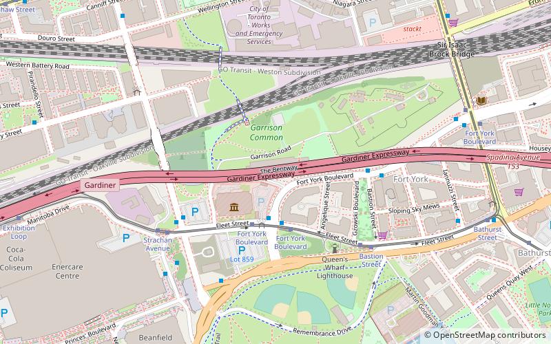
Map
Gallery
Facts and practical information
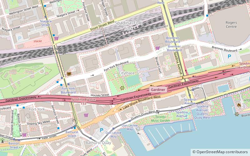
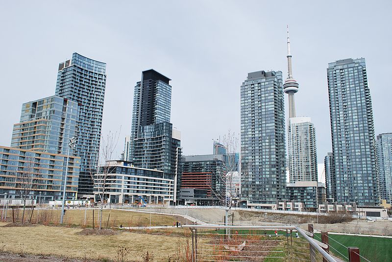
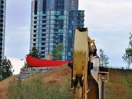
Canoe Landing Park is an 8 acres privately funded urban park in downtown Toronto, Ontario, Canada, adjacent to the Gardiner Expressway in the CityPlace neighbourhood. The name was chosen as part of a city-run contest and the final name was announced on the t.o.night free evening commuter paper. Formerly, it was tentatively known as CityPlace Park. ()
Created: 2009Elevation: 253 ft a.s.l.Coordinates: 43°38'20"N, 79°23'47"W
Address
95 Fort York BoulevardDowntown Toronto (Entertainment District)Toronto M5V 3Y2
ContactAdd
Social media
Add
Day trips
Canoe Landing Park – popular in the area (distance from the attraction)
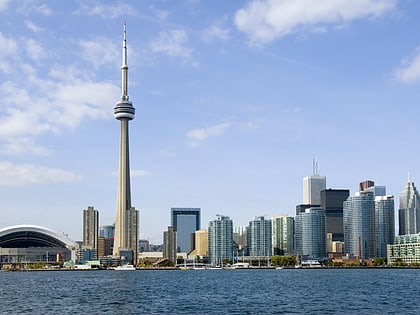
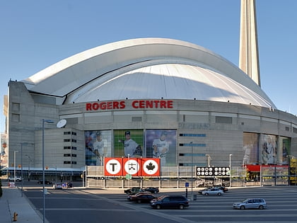
Nearby attractions include: CN Tower, Rogers Centre, Ripley's Aquarium of Canada, Roundhouse Park.
Frequently Asked Questions (FAQ)
Which popular attractions are close to Canoe Landing Park?
Nearby attractions include CityPlace, Toronto (1 min walk), Fort York, Toronto (5 min walk), Draper Street, Toronto (6 min walk), Sir Isaac Brock Bridge, Toronto (6 min walk).
How to get to Canoe Landing Park by public transport?
The nearest stations to Canoe Landing Park:
Tram
Ferry
Bus
Metro
Train
Tram
- Dan Leckie Way • Lines: 509 (5 min walk)
- Fort York Boulevard • Lines: 511 (6 min walk)
Ferry
- Bathurst Street Terminal • Lines: Billy Bishop Airport Ferry (10 min walk)
- Billy Bishop Terminal • Lines: Billy Bishop Airport Ferry (12 min walk)
Bus
- Fleet Street • Lines: 363 (16 min walk)
- Canniff Street • Lines: 363, 63 (21 min walk)
Metro
- St. Andrew • Lines: 1 (22 min walk)
- Union • Lines: 1 (24 min walk)
Train
- Toronto Union Station (23 min walk)
- Exhibition (29 min walk)
 Subway
 Streetcar system
 PATH
PATH