Dartmouth Commons, Dartmouth
Map

Map

Facts and practical information
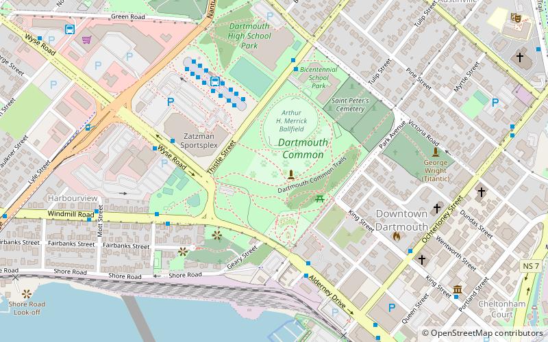
The Dartmouth Commons is an approximately 120 hectares area of land set aside by the government in the late 18th century for the settlers common use in Dartmouth Nova Scotia, Canada. Much of it is maintained by the Halifax Regional Municipality. Today the most prominent area is called Leighton Dillman Park, named after a voluntary keeper of the garden. ()
Created: 1700Elevation: 108 ft a.s.l.Coordinates: 44°40'7"N, 63°34'21"W
Day trips
Dartmouth Commons – popular in the area (distance from the attraction)
Nearby attractions include: Naval Museum of Halifax, Mic Mac Mall, Dartmouth Sportsplex, Little Dutch Church.
Frequently Asked Questions (FAQ)
Which popular attractions are close to Dartmouth Commons?
Nearby attractions include Downtown Dartmouth, Dartmouth (6 min walk), Quaker House, Dartmouth (7 min walk), Alderney Landing, Dartmouth (9 min walk), Sullivans Pond, Dartmouth (14 min walk).
How to get to Dartmouth Commons by public transport?
The nearest stations to Dartmouth Commons:
Bus
Bus
- Bridge Terminal Bay 9 • Lines: 370 (4 min walk)
- Bridge Terminal Bay 8 • Lines: 56 (4 min walk)


