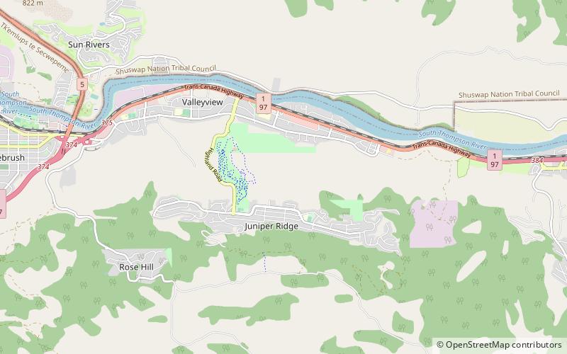
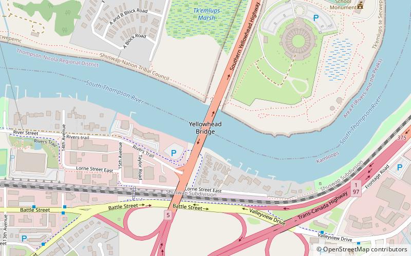
Yellowhead Bridge, Kamloops
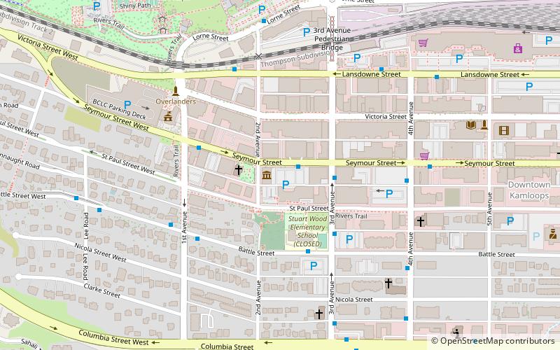
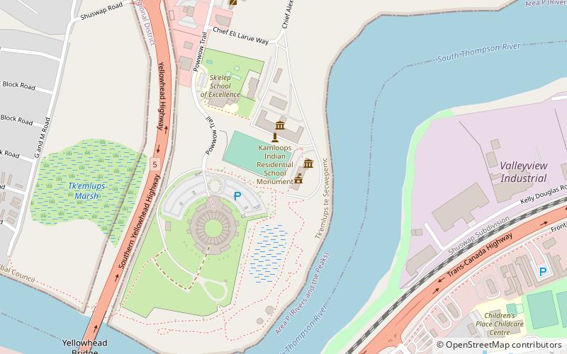
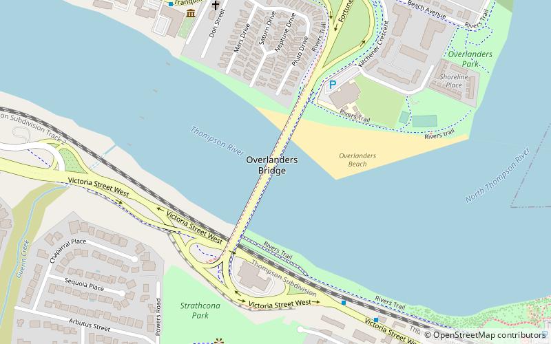
Map
Facts and practical information
The Yellowhead Bridge or the East Kamloops Bridge is a road bridge in Kamloops, British Columbia. It carries Highway 5 over the South Thompson River. It was completed in December of 1968 and has a length of 179.2 metres, not including a preceding railway overhead. ()
Coordinates: 50°40'31"N, 120°18'4"W
Address
City CenterKamloops
ContactAdd
Social media
Add
Day trips