Yellowhead Bridge, Prince George
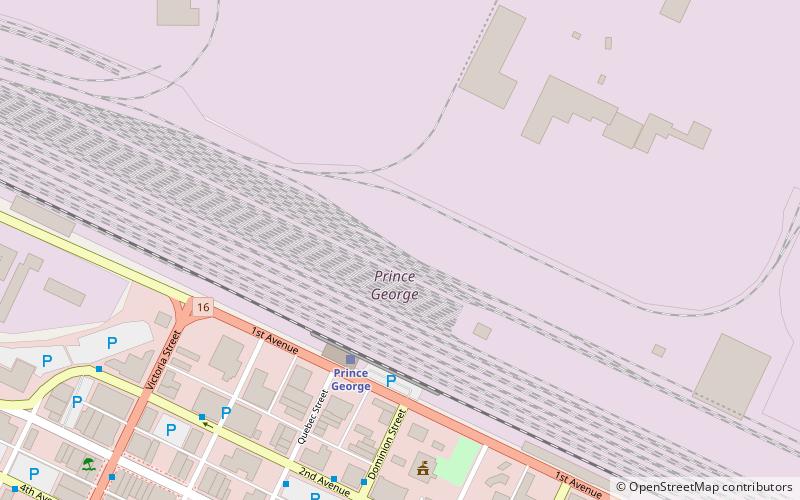
Map
Facts and practical information
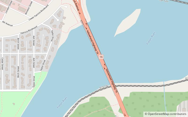
The Yellowhead Bridge is a road bridge in Prince George, British Columbia. It carries Highway 16 over the Fraser River. It was completed in 1988. ()
Coordinates: 53°54'37"N, 122°43'26"W
Address
Prince George AirportPrince George
ContactAdd
Social media
Add
Day trips
Yellowhead Bridge – popular in the area (distance from the attraction)
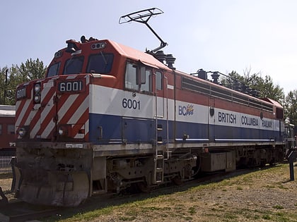
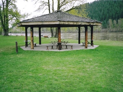
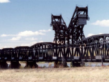
Nearby attractions include: Railway & Forestry Museum, Forests for the World, Paddlewheel Park, Prince George CNR Bridge.
Frequently Asked Questions (FAQ)
Which popular attractions are close to Yellowhead Bridge?
Nearby attractions include Prince George CNR Bridge, Prince George (9 min walk), The Exploration Place, Prince George (16 min walk), Railway & Forestry Museum, Prince George (22 min walk), Paddlewheel Park, Prince George (24 min walk).
