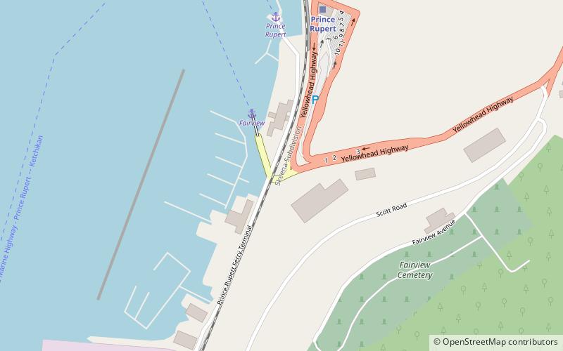
Kaien Island, Prince Rupert
Map

Map

Facts and practical information
Kaien Island is a Canadian island on the coast of British Columbia, just north of the mouth of the Skeena River and to the south of the Alaska Panhandle. The island has an area of about 45 square kilometres, is roughly oval, and about 11 kilometres long along its long axis. The island consists of a central mountain ridge, surrounded by coastal lowlands, the dominant central peak is Mount Hays reaching 708 metres, with a secondary peak, Mount Olfield reaching 555 metres to the northeast. ()
Address
Prince Rupert
ContactAdd
Social media
Add
Day trips
Kaien Island – popular in the area (distance from the attraction)
Nearby attractions include: Museum of Northern British Columbia, Prince Rupert City Hall, Port of Prince Rupert, Lester Centre of the Arts.


