Port of Prince Rupert, Prince Rupert
Map

Gallery

Facts and practical information
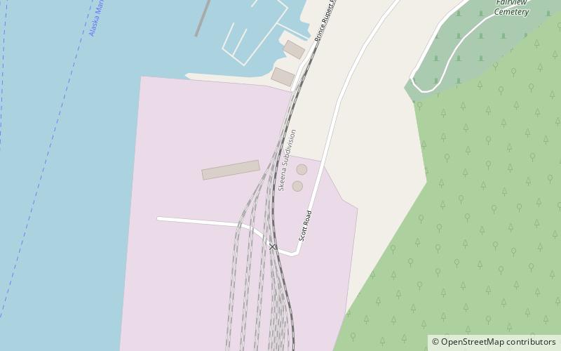
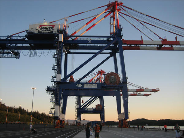
The Port of Prince Rupert is a seaport managed by the Prince Rupert Port Authority that occupies 667,731 ha of land and water along 20 km of waterfront. The port is located in Prince Rupert Harbour in the North Coast Regional District of British Columbia. ()
Opened: 1914 (112 years ago)Coordinates: 54°17'18"N, 130°21'22"W
Day trips
Port of Prince Rupert – popular in the area (distance from the attraction)
Nearby attractions include: Museum of Northern British Columbia, Prince Rupert City Hall, Lester Centre of the Arts, Kaien Island.


