
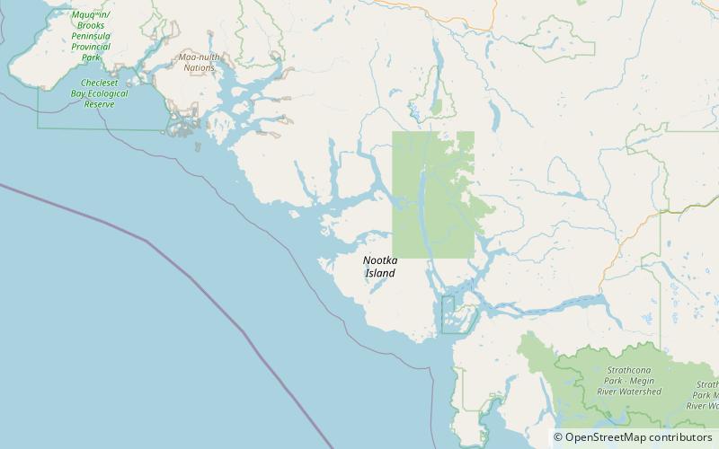
Nootka Island Travel Guide
Facts and practical information
Nootka Island is a hidden gem nestled in the pristine wilderness of the British Columbia region in Canada. Known for its rugged coastline, lush rainforests, and abundant wildlife, Nootka Island offers a unique and unforgettable experience for nature enthusiasts and adventure seekers alike.
The island is a haven for outdoor activities such as hiking, kayaking, and wildlife watching. Visitors can explore the rugged coastline and secluded beaches, or venture into the dense forests to discover the diverse flora and fauna that call Nootka Island home. The island's remote location and untouched natural beauty make it a perfect destination for those seeking a true wilderness experience.
For history enthusiasts, Nootka Island holds a special significance as the site of the first contact between European explorers and the Indigenous peoples of the region. The island's rich cultural heritage is reflected in its ancient petroglyphs and historic sites, providing a fascinating glimpse into the area's past.
Nootka Island is also a popular destination for fishing enthusiasts, with its abundant marine life and world-class fishing opportunities. Whether casting a line from the shore or chartering a boat for a deep-sea fishing excursion, visitors can enjoy the thrill of reeling in a variety of fish, including salmon, halibut, and lingcod.
Accommodations on Nootka Island range from rustic campsites to cozy cabins, providing a range of options for visitors looking to immerse themselves in the island's natural beauty. Whether camping under the stars or enjoying the comfort of a secluded cabin, visitors can experience the tranquility and serenity of Nootka Island's remote wilderness.
Nootka Island is a place of raw natural beauty and rich cultural history, offering a truly unique and unforgettable experience for those seeking adventure and exploration in the Canadian wilderness.
British Columbia
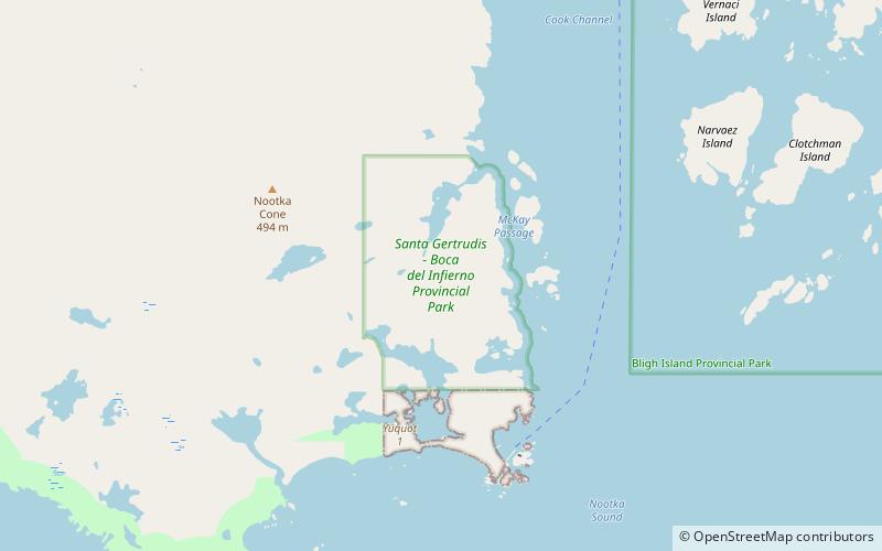
Nootka Island Attractions - What to See and Explore
Nootka Island offers many attractions and places to visit. Here are the most important ones: Sophia Range, Santa Gertrudis-Boca del Infierno Provincial Park. Below you will find a complete list of places worth visiting.
Best Time To Visit Nootka Island
Learn when is the best time to travel to Nootka Island weather-wise and what to expect in each season.