Malibu Islet
Map

Map

Facts and practical information
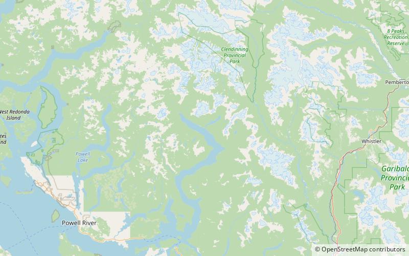
Malibu Islet, also known as Malibu Isle or Forbidden Island, is located at the entrance of Princess Louisa Inlet, south of Malibu Rapids, east of Queens Reach, a stretch of Jervis Inlet in the New Westminster Land District, British Columbia, Canada. The island is the part of the narrow passage that joins Princess Louisa Inlet and Jervis Inlet together. The navigational entrance to Princess Louisa Inlet for all marine traffic is between the island and a navigation buoy. ()
Coordinates: 50°9'47"N, 123°51'7"W
Location
British Columbia
ContactAdd
Social media
Add
Day trips
Malibu Islet – popular in the area (distance from the attraction)
Nearby attractions include: James Bruce Falls, Chatterbox Falls, Princess Louisa Marine Provincial Park.


