Maplewood Flats Conservation Area, Delta
Map
Map

Facts and practical information
The Maplewood Flats Conservation Area is a 126 hectare conservation area located in North Vancouver, British Columbia, Canada. The area is composed of a 96 hectare intertidal zone of mudflats and salt marsh, and a 30 hectare upland area. It is preserved by Port Metro Vancouver as one of their ecological land initiatives. The land is located approximately 2 km east of the Second Narrows Bridge along Burrard Inlet in North Vancouver. ()
Established: 1992 (34 years ago)Elevation: 13 ft a.s.l.Coordinates: 49°7'23"N, 123°1'12"W
Best Ways to Experience the Park
Wildlife
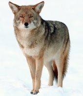
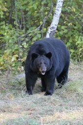
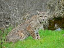
AnimalsSee what popular animal species you can meet in this location.
More
Show more
Day trips
Maplewood Flats Conservation Area – popular in the area (distance from the attraction)
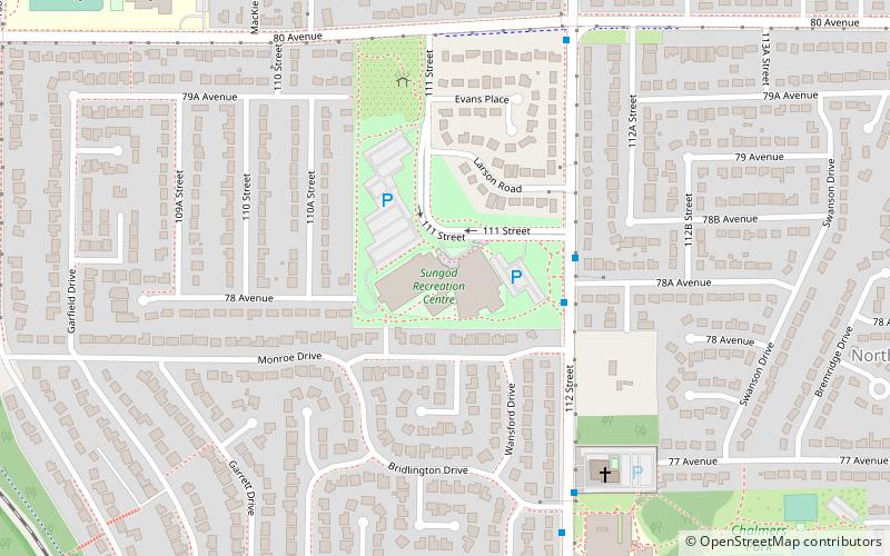
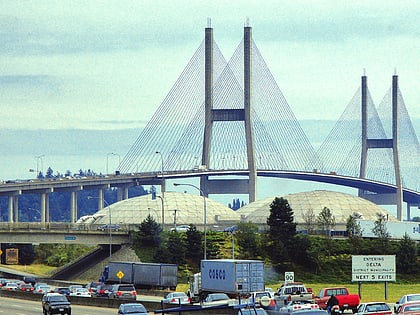
Nearby attractions include: International Buddhist Temple, Ladner Leisure Centre, Sungod Recreation Centre, Alex Fraser Bridge.
Frequently Asked Questions (FAQ)
How to get to Maplewood Flats Conservation Area by public transport?
The nearest stations to Maplewood Flats Conservation Area:
Bus
Bus
- Progress Way at 72 St • Lines: 640 (19 min walk)

