CNR Bridge, Burnaby
Map

Map

Facts and practical information
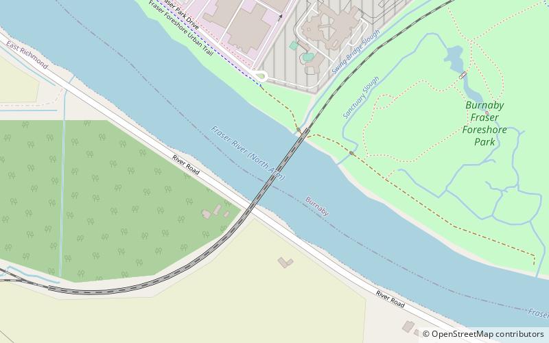
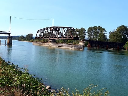
Opened in 1931, the Canadian National Railway steel truss swing span railway bridge over the north arm of the Fraser River in Metro Vancouver links Burnaby with Richmond and the south arm Vancouver Fraser Port Authority facilities on Lulu Island. ()
Coordinates: 49°10'59"N, 122°59'17"W
Address
East RichmondBurnaby
ContactAdd
Social media
Add
Day trips
CNR Bridge – popular in the area (distance from the attraction)
Nearby attractions include: Metropolis at Metrotown, Crystal Mall, Alex Fraser Bridge, Everett Crowley Park.
Frequently Asked Questions (FAQ)
How to get to CNR Bridge by public transport?
The nearest stations to CNR Bridge:
Bus
Bus
- North Fraser Way at Tillicum St • Lines: 116 (13 min walk)


