Canso Canal Bridge
Map

Map

Facts and practical information
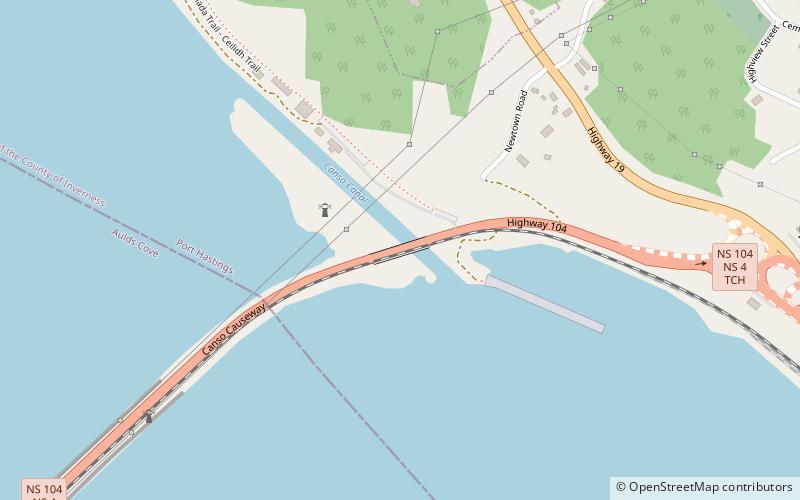
The Canso Canal Bridge is a rotating swing bridge in Nova Scotia, Canada. It crosses the Canso Canal at the eastern end of the Canso Causeway, connecting the Nova Scotia peninsula to Cape Breton Island. The bridge carries the 2 traffic lanes of Highway 104 as well as a single track railway line operated by the Cape Breton and Central Nova Scotia Railway. ()
Opened: 18 April 1955 (70 years ago)Coordinates: 45°38'51"N, 61°24'46"W
Day trips
Canso Canal Bridge – popular in the area (distance from the attraction)
Nearby attractions include: Port Hawkesbury Civic Centre, Balache Point Lighthouse, Canso Canal, Eastern Counties Regional Library.


