Côte-des-Neiges Road, Montreal

Gallery (1)
Map
Map
Facts and practical information
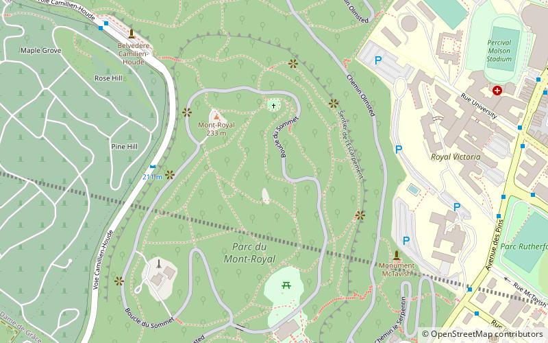
Côte-des-Neiges Road is a street in Montreal, home to Plaza Côte-des-Neiges. It is served by Métro Côte-des-Neiges and two bus lanes. BIXI bike rental is also available. It extends from the intersection of Sherbrooke Street and Guy Street in the south to the intersection of Jean-Talon Street and Laird Boulevard in the north. Part of it follows the path of the former Raimbault Creek between the two peaks of Mount Royal. ()
Address
Ville-Marie DistrictMontreal
ContactAdd
Social media
Add
Getting there by public transportation
Public transportation stops near this location
- Metro
- Bus
- Train
 Metro
Metro
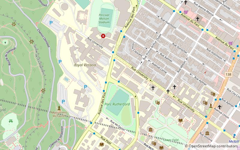
- Calculate routeBelvédère Camillien-Houde 9 min walk
- Calculate routedes Pins / Peel 9 min walk
- Calculate routedes Pins / du Docteur-Penfield 9 min walk
- Calculate routePeel / des Pins 10 min walk
- Calculate routePeel 20 min walk
- Calculate routeMcGill 21 min walk
- Calculate routeGuy-Concordia 24 min walk
- Calculate routePlace-des-Arts 25 min walk
- Calculate routeMontreal Central Station 29 min walk
- Calculate routeLucien-L'Allier 31 min walk
Maps Metro
Metro
MetroDay trips


Frequently Asked Questions (FAQ)
Which popular attractions are close to Côte-des-Neiges Road?
Nearby attractions include Wilfrid Laurier Memorial, Montreal (3 min walk), Mount Royal Cross, Montreal (3 min walk), Mount Royal, Montreal (4 min walk), Chalet du Mont-Royal, Montreal (7 min walk).
How to get to Côte-des-Neiges Road by public transport?
The nearest stations to Côte-des-Neiges Road:
Bus
Metro
Train
Bus
- Belvédère Camillien-Houde • Lines: 11-E, 11-O (9 min walk)
- des Pins / Peel • Lines: 144-O (9 min walk)
Metro
- Peel • Lines: 1 (20 min walk)
- McGill • Lines: 1 (21 min walk)
Train
- Montreal Central Station (29 min walk)
- Lucien-L'Allier (31 min walk)