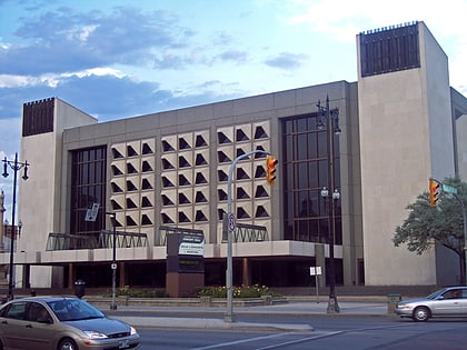
Manitoba Centennial Centre, Winnipeg
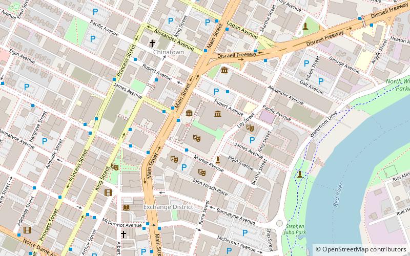
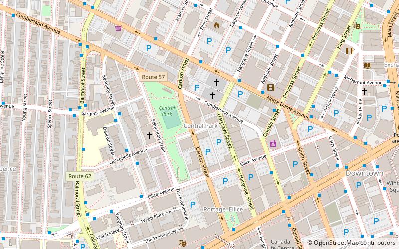
Map
Facts and practical information
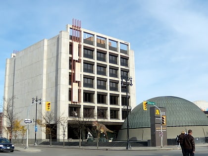
Manitoba Centennial Centre is an arts and cultural district that covers a 34-acre area in the east Exchange District of the Point Douglas area in Winnipeg, Manitoba, linking several of Manitoba's important arts and cultural facilities. It includes the Centennial Concert Hall, the Manitoba Museum, Planetarium and Science Gallery, the Royal Manitoba Theatre Centre, Manitoba Production Centre, Artspace, three nearby surface parking lots, and the building at 11 Lily Street. ()
Coordinates: 49°53'59"N, 97°8'12"W
Address
Central Winnipeg (Downtown Winnipeg)Winnipeg
ContactAdd
Social media
Add
Day trips
Manitoba Centennial Centre – popular in the area (distance from the attraction)
Nearby attractions include: Winnipeg Square, Shaw Park, Manitoba Museum, Burton Cummings Theatre.
Frequently Asked Questions (FAQ)
Which popular attractions are close to Manitoba Centennial Centre?
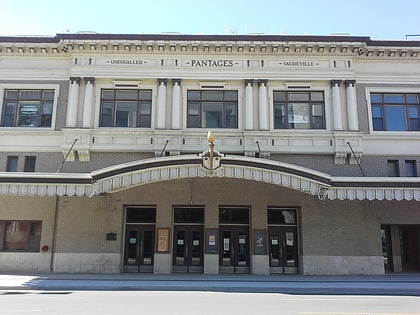
Nearby attractions include Centennial Concert Hall, Winnipeg (1 min walk), Manitoba Museum, Winnipeg (1 min walk), Martha Street Studio, Winnipeg (3 min walk), Pantages Playhouse Theatre, Winnipeg (3 min walk).
How to get to Manitoba Centennial Centre by public transport?
The nearest stations to Manitoba Centennial Centre:
Bus
Train
Bus
- Northbound Main at James • Lines: 11, 15, 16, 18, 20, 21, 22, 24, 25, 28, 31, 32, 35, 40, 41, 42, 44, 45, 46, 47, 48, 58, 67, defunct, defunct Winnipeg - Selkirk (2 min walk)
- Westbound Market at Main • Lines: 21, 22, 24, 25, 28, 31, 58, 67 (2 min walk)
Train
- Winnipeg (20 min walk)
