Skihist Mountain

Map
Facts and practical information
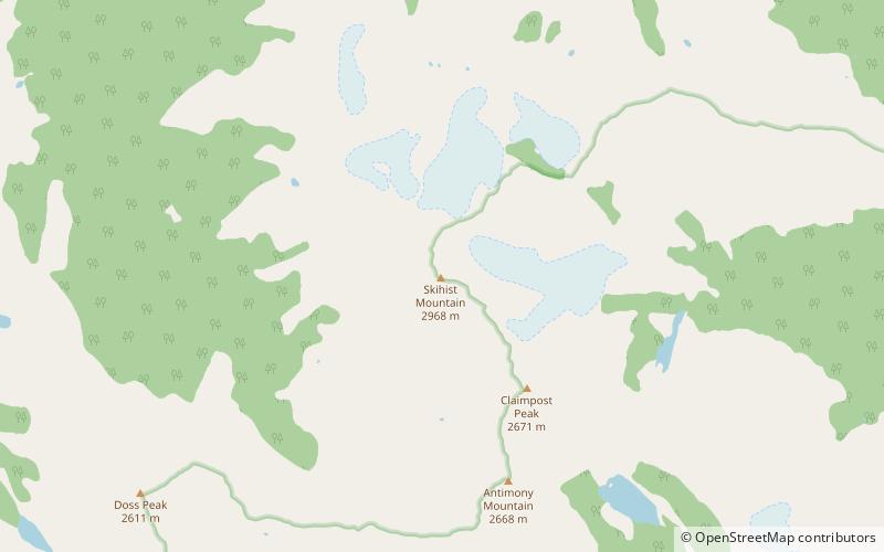
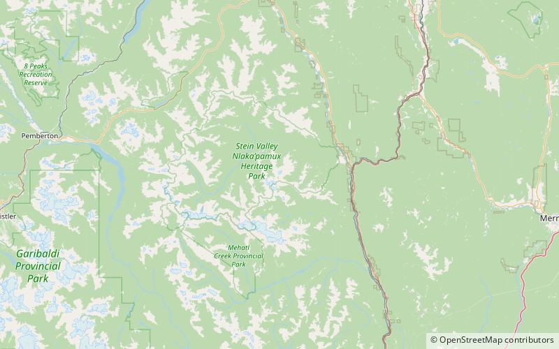
Skihist Mountain, also sometimes referred to as Skihist Peak, is the highest mountain in the Cantilever Range and in southwestern British Columbia, Canada. It is located on the southern boundary of Stein Valley Nlaka'pamux Heritage Park, about 20 km west of Lytton. It is the highest summit in the Lillooet Ranges, which lie between the Lillooet and Fraser Rivers, south of the Gates Valley and Seton and Anderson Lakes. ()
Elevation: 9738 ftProminence: 8081 ftCoordinates: 50°11'17"N, 121°54'11"W
Location
British Columbia
ContactAdd
Social media
Add
Day trips
Skihist Mountain – popular in the area (distance from the attraction)
Nearby attractions include: Petlushkwohap Mountain.
