Dawley Passage Provincial Park

Map
Facts and practical information
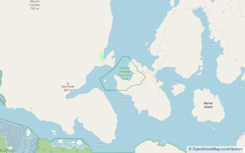
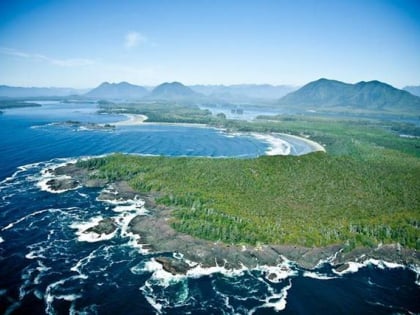
Dawley Passage Provincial Park is a provincial park in British Columbia, Canada, located at the south end of Fortune Channel, which lies between Meares Island and the mainland of Vancouver Island just south. The park is to the north of the resort town of Tofino and is accessible by boat only. It was created on July 13, 1995 as part of the Clayoquot Land-Use Decision and contains 154 ha,. ()
Created: 12 July 1995Elevation: 0 ft a.s.l.Coordinates: 49°8'44"N, 125°47'17"W
Day trips
Dawley Passage Provincial Park – popular in the area (distance from the attraction)
Nearby attractions include: Lone Cone, The Whale Centre, Westside Surf, Clayoquot Sound Theatre.


