Lone Cone, Meares Island
Map
Map

Facts and practical information
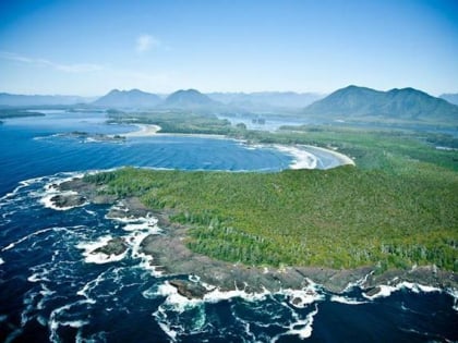
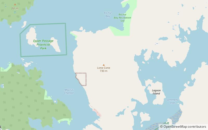
Lone Cone is a mountain located 6 km north of Tofino and 7 km northwest of Mount Colnett on the western peninsula of Meares Island in Clayoquot Land District, British Columbia, Canada. The mountain has always been a noticeable landmark to all inhabitants with its looming presence on the north end of Meares Island. The early pioneers believed that if there were clouds blocking the summit then there would be approaching good weather. ()
Elevation: 2434 ftProminence: 2287 ftCoordinates: 49°12'35"N, 125°54'40"W
Address
Meares Island
ContactAdd
Social media
Add
Day trips
Lone Cone – popular in the area (distance from the attraction)
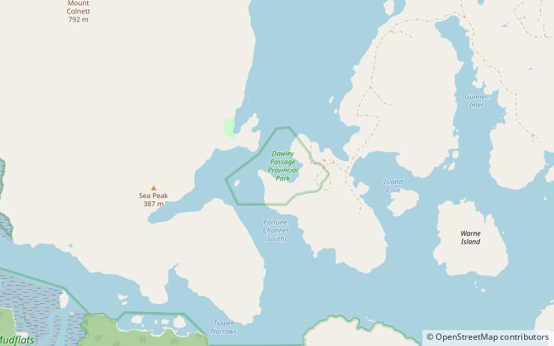
Nearby attractions include: The Whale Centre, Westside Surf, Dawley Passage Provincial Park, Clayoquot Sound Theatre.


