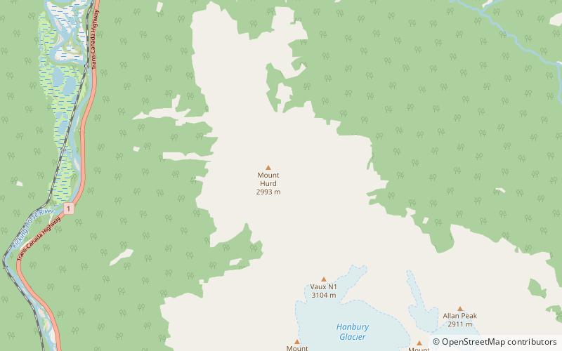
Mount Hurd, Yoho National Park

Gallery (1)
Map
Map
Facts and practical information
Mount Hurd is a mountain in the Ottertail Range of the Canadian Rockies in British Columbia, Canada. It was named after Major Marshall Farnam Hurd a Canadian Pacific Railway engineer and explorer. It was featured on a 1928 Canada Post 10¢ stamp based on a painting by Frederic Marlett Bell-Smith. ()
Elevation: 9843 ftProminence: 1165 ftCoordinates: 51°17'2"N, 116°32'2"W
Address
Yoho National Park
ContactAdd
Social media
Add
Day trips


