Mount King, Yoho National Park
Map

Gallery

Facts and practical information
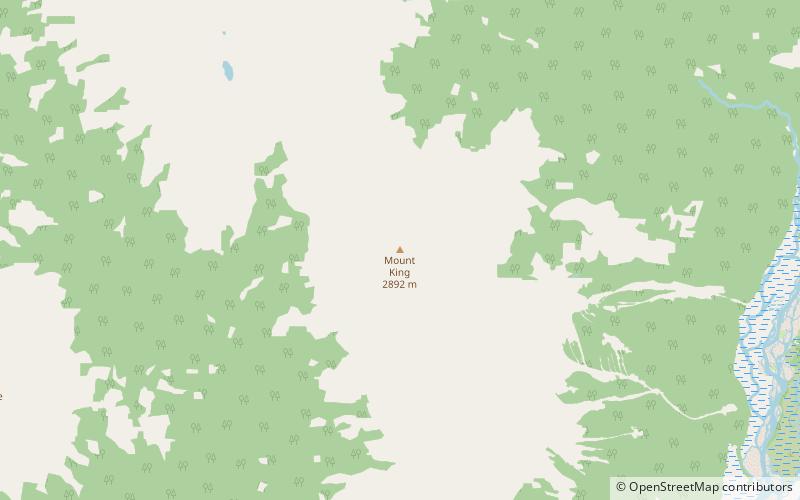
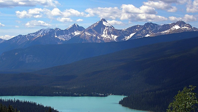
Mount King is a 2,868-metre mountain summit located in Yoho National Park, in the Canadian Rockies of British Columbia, Canada. Its nearest higher peak is Mount Deville, 5.0 km to the northwest. Both are in the Van Horne Range, which has the oldest mountains in the Rockies, and as such they are highly eroded. Mount King is a landmark that can be seen from Highway 1, the Trans-Canada Highway in the Kicking Horse valley and Kicking Horse Pass areas. The mountain is situated 14 kilometres southwest of Emerald Lake, and 13 km southwest of Field, British Columbia. ()
Coordinates: 51°20'26"N, 116°38'55"W
Address
Yoho National Park
ContactAdd
Social media
Add
Day trips
Mount King – popular in the area (distance from the attraction)
Nearby attractions include: Mount Hurd.

