Downtown Yonge, Toronto
Map
Map

Facts and practical information
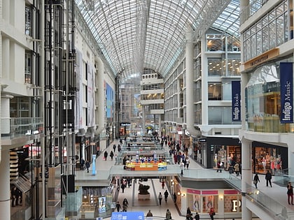
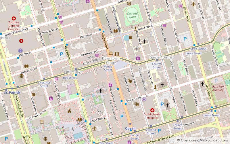
Downtown Yonge is a retail and entertainment district centred on Yonge Street in Downtown Toronto, Ontario, Canada. The Downtown Yonge district is bounded by Richmond Street to the south; Grosvenor and Alexander Streets to the north; Bay Street to the west; and portions of Church Street, Victoria Street, and Bond Street to the east. All property owners and commercial tenants within these boundaries are members of the Downtown Yonge Business Improvement Area association, founded in 2001. ()
Coordinates: 43°39'21"N, 79°22'50"W
Address
Eaton Centre, Yonge StDowntown Toronto (Garden District)Toronto
ContactAdd
Social media
Add
Day trips
Downtown Yonge – popular in the area (distance from the attraction)
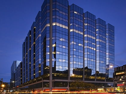
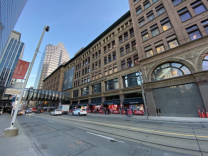
Nearby attractions include: CF Toronto Eaton Centre, Atrium on Bay, Old City Hall, Hudson's Bay.
Frequently Asked Questions (FAQ)
Which popular attractions are close to Downtown Yonge?
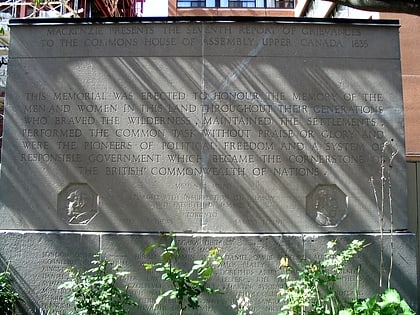
Nearby attractions include Yonge-Dundas Square, Toronto (1 min walk), Ed Mirvish Theatre, Toronto (2 min walk), Church of the Holy Trinity, Toronto (3 min walk), Mackenzie House, Toronto (3 min walk).
How to get to Downtown Yonge by public transport?
The nearest stations to Downtown Yonge:
Tram
Metro
Bus
Train
Ferry
Tram
- Yonge Street • Lines: 505 (2 min walk)
- Bay Street • Lines: 505 (4 min walk)
Metro
- Dundas • Lines: 1 (2 min walk)
- Queen • Lines: 1 (6 min walk)
Bus
- Dundas Street West • Lines: 19 (5 min walk)
- Hagerman Street • Lines: 19 (5 min walk)
Train
- Toronto Union Station (20 min walk)
Ferry
- Jack Layton Ferry Terminal • Lines: Toronto Island Ferry, Ward's Island (29 min walk)

 Subway
 Streetcar system
 PATH
PATH