Nathan Phillips Square, Toronto
Facts and practical information
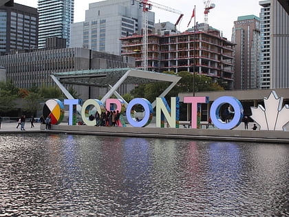
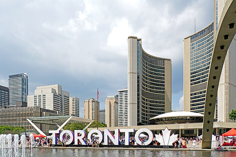
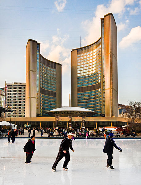
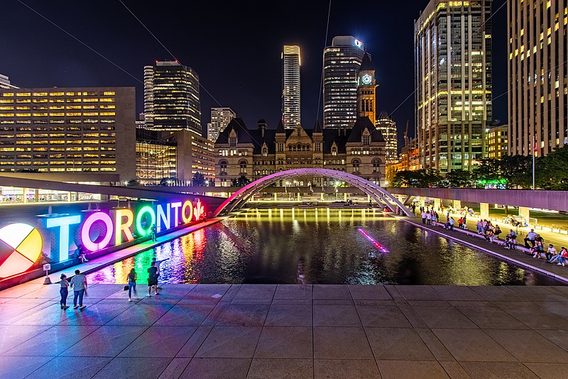
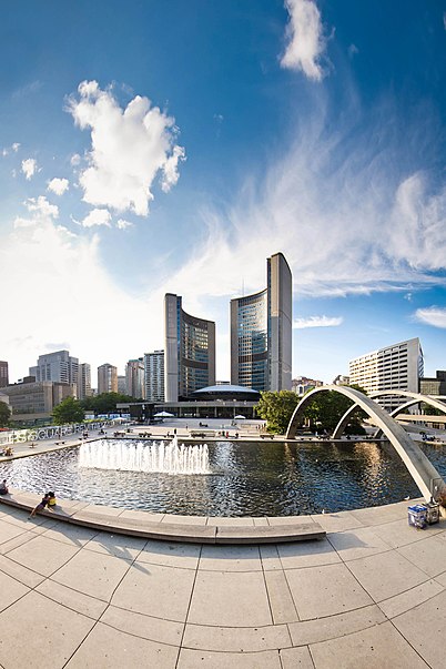
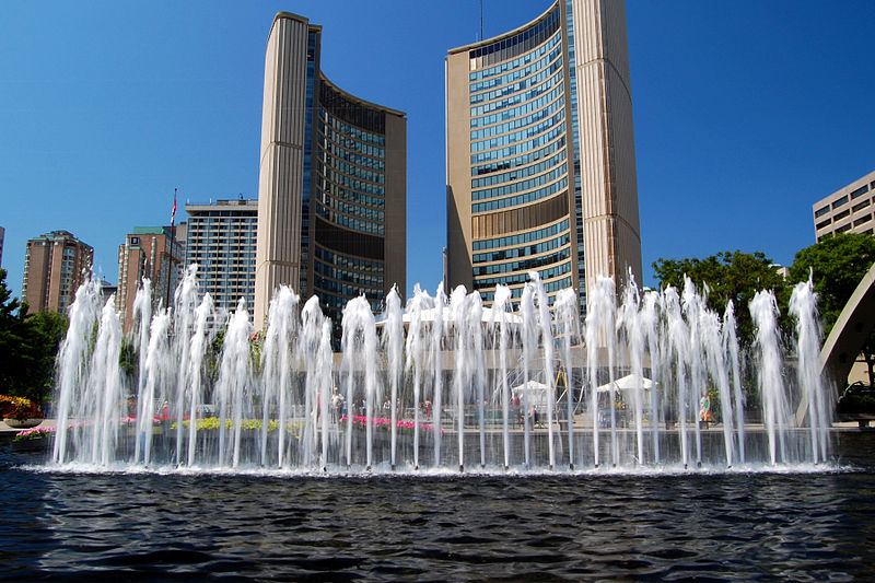
Nathan Phillips Square is an urban plaza in Toronto, Ontario, Canada. It forms the forecourt to Toronto City Hall, or New City Hall, at the intersection of Queen Street West and Bay Street, and is named for Nathan Phillips, mayor of Toronto from 1955 to 1962. The square was designed by the City Hall's architect Viljo Revell and landscape architect Richard Strong. It opened in 1965. The square is the site of concerts, art displays, a weekly farmers' market, the winter festival of lights, and other public events, including demonstrations. During the winter months, the reflecting pool is converted into an ice rink for ice skating. The square attracts an estimated 1.5 million visitors yearly. With an area of 4.85 hectares, it is Canada's largest city square. ()
100 Queen St WDowntown Toronto (Bay Street Corridor)Toronto M5H 2N1
Nathan Phillips Square – popular in the area (distance from the attraction)
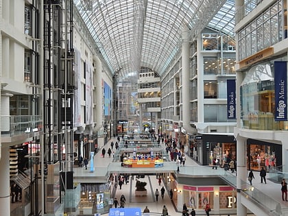
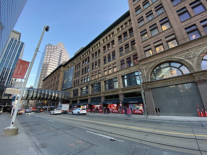
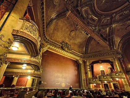
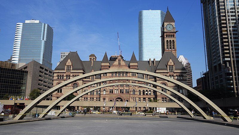
Nearby attractions include: CF Toronto Eaton Centre, Old City Hall, Hudson's Bay, Yonge-Dundas Square.
Frequently Asked Questions (FAQ)
Which popular attractions are close to Nathan Phillips Square?
How to get to Nathan Phillips Square by public transport?
Bus
- Albert Street • Lines: 19 (2 min walk)
- Queen Street West • Lines: 19 (3 min walk)
Tram
- Bay Street • Lines: 501, 501;301 (4 min walk)
- York Street • Lines: 501, 501;301 (4 min walk)
Metro
- Osgoode • Lines: 1 (5 min walk)
- Queen • Lines: 1 (6 min walk)
Train
- Toronto Union Station (15 min walk)
Ferry
- Jack Layton Ferry Terminal • Lines: Toronto Island Ferry, Ward's Island (25 min walk)



 Subway
 Streetcar system
 PATH
PATH