South Keys station, Ottawa
Map

Map

Facts and practical information
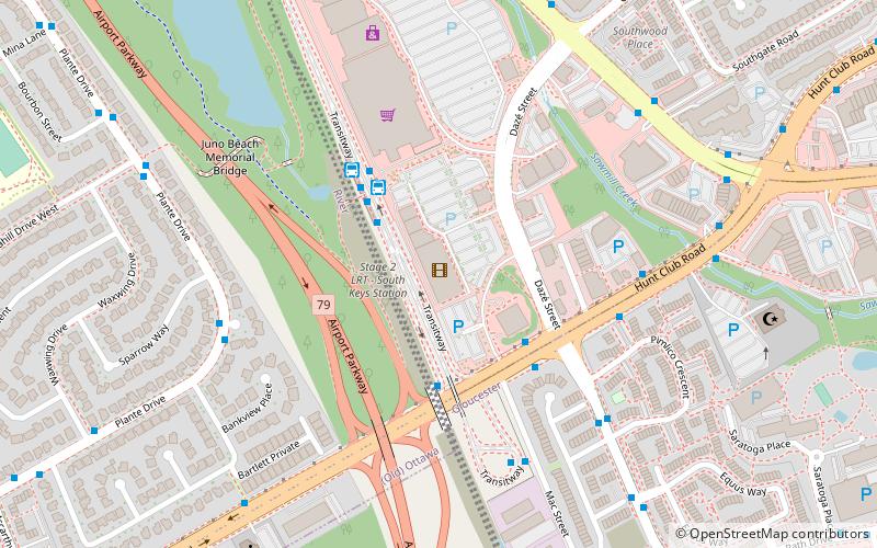
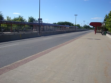
South Keys station is a stop on Ottawa's transitway system. Operated by OC Transpo, it is last station at the southern end of the Transitway, just north of Hunt Club Road. The station is located in the South Keys neighbourhood of Ottawa at the south end of the South Keys Shopping Centre beside the Cineplex Odeon South Keys Cinemas, between Bank Street and the Airport Parkway. The station was opened to traffic with the southern transitway on September 2, 1995. ()
Coordinates: 45°21'9"N, 75°39'14"W
Day trips
South Keys station – popular in the area (distance from the attraction)
Nearby attractions include: South Keys Shopping Centre, Pauline Vanier Park, Walkley station, Ellwood.
Frequently Asked Questions (FAQ)
How to get to South Keys station by public transport?
The nearest stations to South Keys station:
Bus
Bus
- South Keys 1D • Lines: 197, 2, 90, 92 (2 min walk)
- South Keys 1C • Lines: 198, 199, 299, 304, 93, 96, 97, 99 (3 min walk)


