Philosopher's Walk, Toronto
Map
Gallery
Facts and practical information
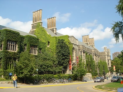
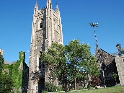
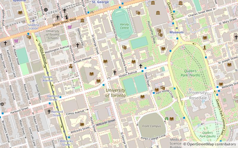
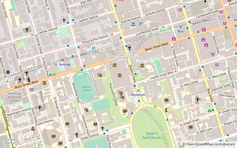
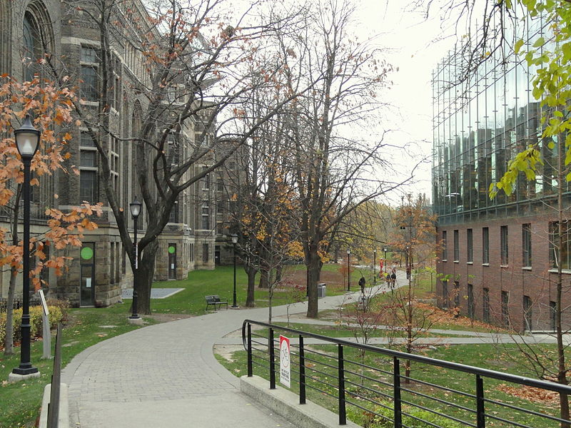
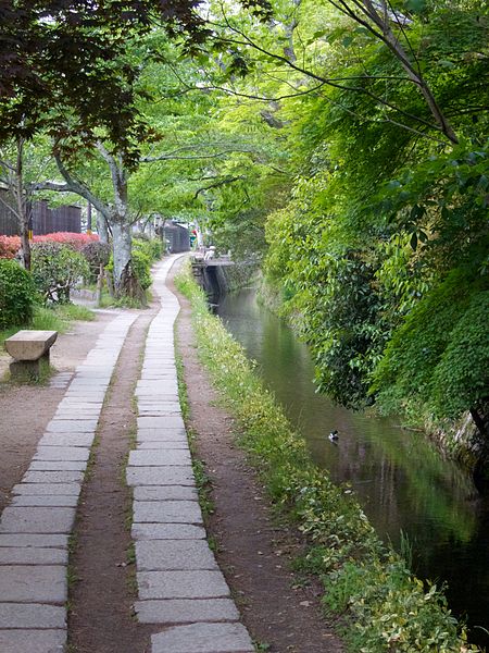
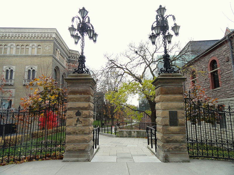
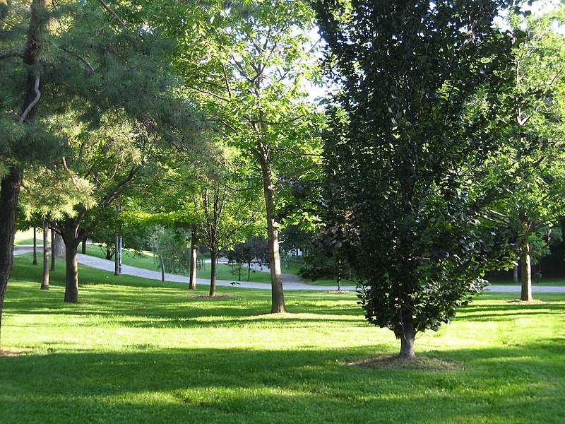
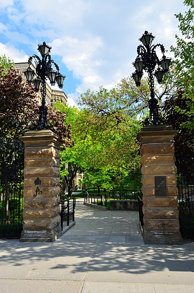
Philosopher's Walk is a scenic footpath located in the St George campus of the University of Toronto in Toronto, Ontario. It runs in the north–south direction along the ravine landscape created by Taddle Creek, once a natural waterway that was buried during the Industrial Age and is now flowing underground. The path is bounded by several Toronto landmarks, including the Royal Ontario Museum, the Royal Conservatory of Music, Trinity College, the University of Toronto Faculty of Music, and the University of Toronto Faculty of Law. ()
Elevation: 358 ft a.s.l.Coordinates: 43°40'1"N, 79°23'43"W
Day trips
Philosopher's Walk – popular in the area (distance from the attraction)
Nearby attractions include: Royal Ontario Museum, Mink Mile, Yorkville Village, Bata Shoe Museum.
Frequently Asked Questions (FAQ)
Which popular attractions are close to Philosopher's Walk?
Nearby attractions include Institute for Contemporary Culture, Toronto (2 min walk), Trinity College, Toronto (2 min walk), Royal Ontario Museum, Toronto (3 min walk), Gardiner Museum, Toronto (4 min walk).
How to get to Philosopher's Walk by public transport?
The nearest stations to Philosopher's Walk:
Metro
Bus
Tram
Metro
- Museum • Lines: 1 (3 min walk)
- St. George • Lines: 1, 2 (6 min walk)
Bus
- Hoskin Avenue • Lines: 94A (3 min walk)
- Tower Road • Lines: 94A (5 min walk)
Tram
- Sussex Avenue • Lines: 510A, 510B, 510C (11 min walk)
- Spadina Station • Lines: 510A, 510B, 510C (11 min walk)



 Subway
 Streetcar system
 PATH
PATH
