Massey College, Toronto
Facts and practical information
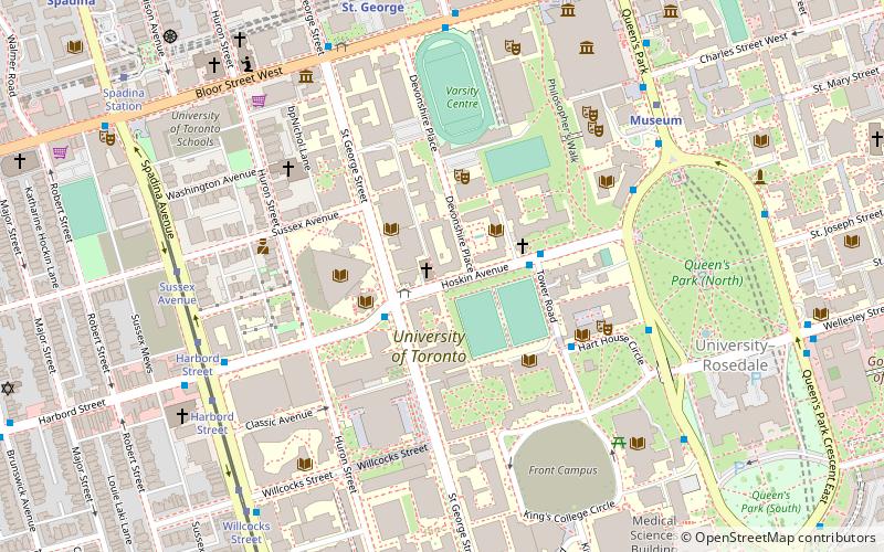
Massey College is a graduate residential college at the University of Toronto that was established, built and partially endowed in 1962 by the Massey Foundation and officially opened in 1963, though women were not admitted until 1974. It was modeled around the traditional Cambridge and Oxford collegiate system and features a central court and porters lodge. Similar to St. John's College, Cambridge, and All Souls College, Oxford, senior and junior fellows of Massey College are nominated from the university community and occasionally the wider community, and are elected by the governing board of the college. The President of the University of Toronto, the Dean of graduate studies and three members of the Massey Foundation are ex officio members of the governing board, chaired by the elected member of the governing board. Members of the governing board are elected for five years; the Principal of the college is elected for seven years. ()
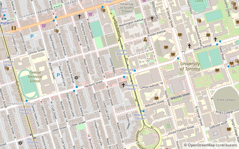
Downtown Toronto (University of Toronto)Toronto
- Metro
- Bus
- Tram
 Metro
Metro
- Calculate routeSt George Street 2 min walk
- Calculate routeTower Road 3 min walk
- Calculate routeHoskin Avenue 6 min walk
- Calculate routeSpadina Avenue 7 min walk
- Calculate routeHarbord Street 7 min walk
- Calculate routeSussex Avenue 7 min walk
- Calculate routeWillcocks Street 8 min walk
- Calculate routeMuseum 7 min walk
- Calculate routeSt. George 8 min walk
- Calculate routeSpadina 12 min walk
- Calculate routeQueen's Park 13 min walk
 SubwayMaps
 Streetcar systemMaps
 PATH
PATHMassey College – popular in the area (distance from the attraction)
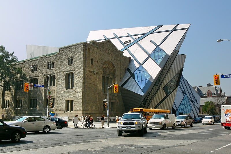
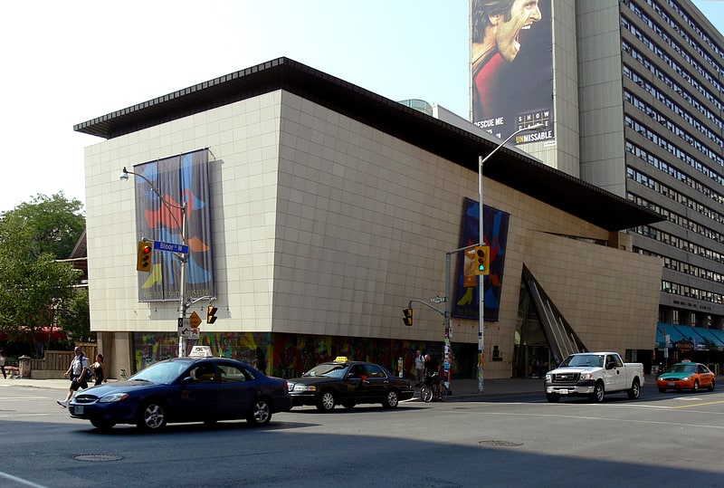
Nearby attractions include: Royal Ontario Museum, Philosopher's Walk, Bata Shoe Museum, University College.


Frequently Asked Questions (FAQ)
Which popular attractions are close to Massey College?
How to get to Massey College by public transport?
Bus
- St George Street • Lines: 94A (2 min walk)
- Tower Road • Lines: 94A (3 min walk)
Tram
- Harbord Street • Lines: 510A, 510B, 510C (7 min walk)
- Sussex Avenue • Lines: 510A, 510B, 510C (7 min walk)
Metro
- Museum • Lines: 1 (7 min walk)
- St. George • Lines: 1, 2 (8 min walk)