Parc des Braves, Quebec City


Facts and practical information
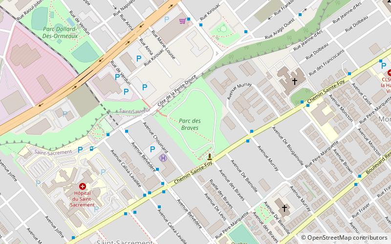
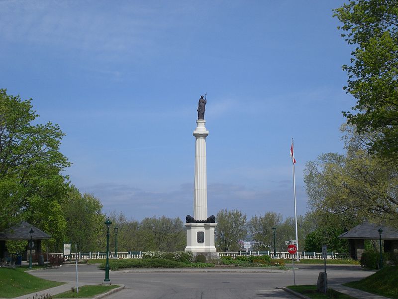
Parc des Braves (address: Chemin Ste-Foy) is a place located in Quebec City (Québec province) and belongs to the category of park, relax in park, playground.
It is situated at an altitude of 190 feet, and its geographical coordinates are 46°48'6"N latitude and 71°14'29"W longitude.
Planning a visit to this place, one can easily and conveniently get there by public transportation. Parc des Braves is a short distance from the following public transport stations: Sainte-Foy (bus, 4 min walk).
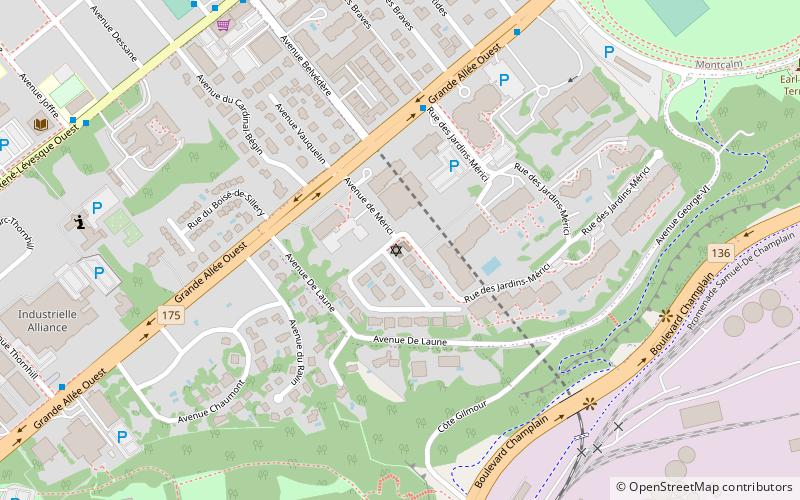
Among other places and attractions worth visiting in the area are: Beth Israel Ohev Sholom Congregation (synagogue, 17 min walk), Saint-Dominique Church (church, 21 min walk), Halles du Petit Quartier (shopping, 21 min walk).
Parc des Braves – popular in the area (distance from the attraction)
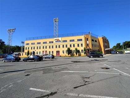
Nearby attractions include: Musée national des beaux-arts du Québec, Saint-Jean-Baptiste Church, Stade Canac, Plains of Abraham.
Frequently Asked Questions (FAQ)
Which popular attractions are close to Parc des Braves?
How to get to Parc des Braves by public transport?
Bus
- Sainte-Foy • Lines: 802 (4 min walk)
- Pente-Douce • Lines: 802 (5 min walk)


