Great Slave Lake
Map
Gallery

Facts and practical information
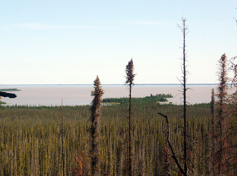
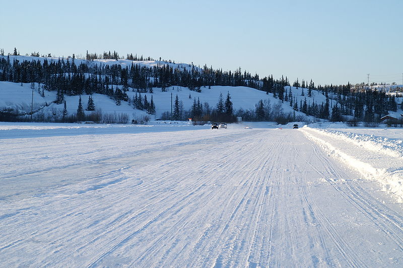
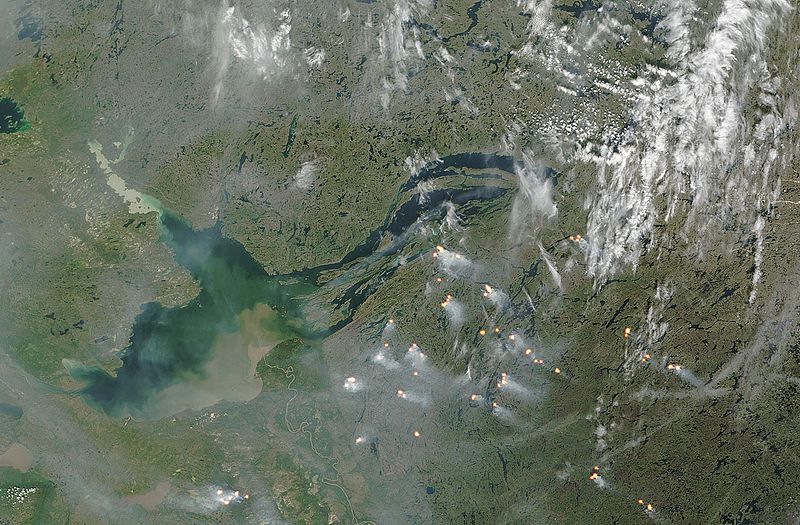
Great Slave Lake, known traditionally as Tıdeè in Tłı̨chǫ Yatıì, Tinde’e in Wıìlıìdeh Yatii / Tetsǫ́t’ıné Yatıé, Tu Nedhé in Dëne Sųłıné Yatıé, and Tucho in Dehcho Dene Zhatıé, is the second-largest lake in the Northwest Territories of Canada, the deepest lake in North America at 614 m, and the tenth-largest lake in the world. It is 469 km long and 20 to 203 km wide. It covers an area of 27,200 km2 in the southern part of the territory. Its given volume ranges from 1,070 km3 to 1,580 km3 and up to 2,088 km3 making it the 10th or 12th largest by volume. ()
Alternative names: Area: 10501.96 mi²Length: 291.42 miWidth: 126.14 miMaximum depth: 2014 ftElevation: 515 ft a.s.l.Coordinates: 61°40'0"N, 114°0'0"W
Location
Northwest Territories
ContactAdd
Social media
Add


