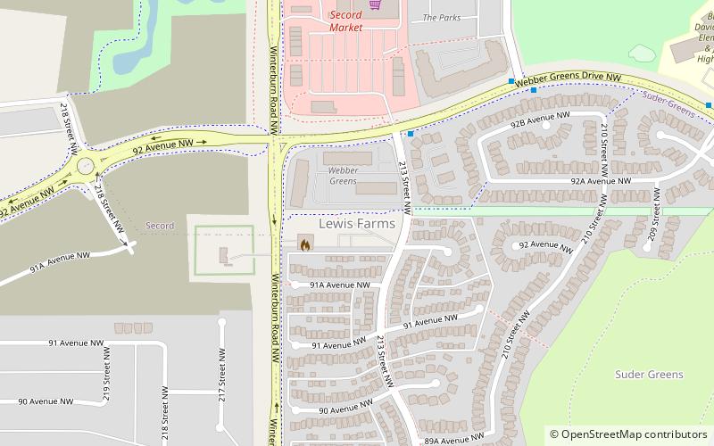
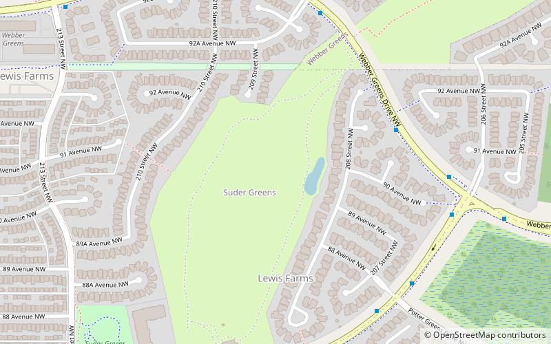
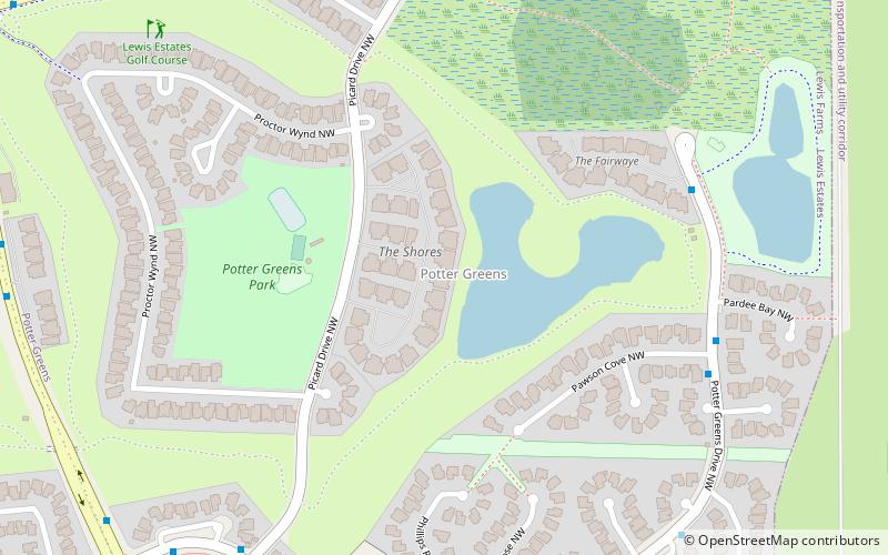
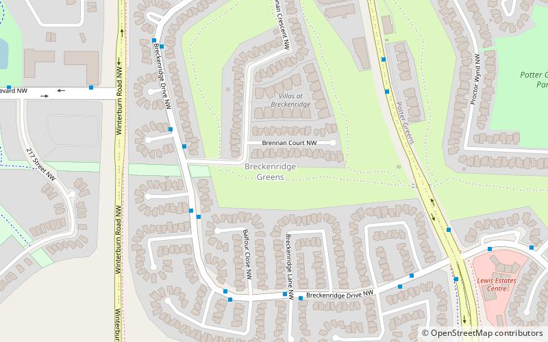
Secord, Edmonton
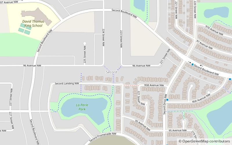
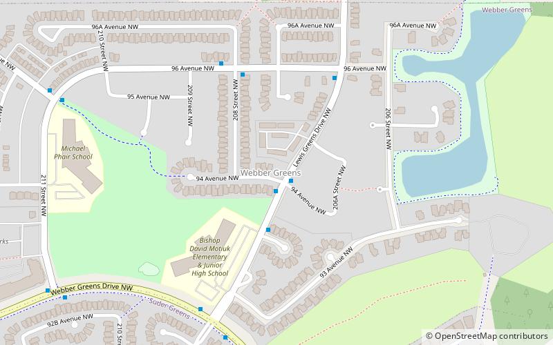
Map
Facts and practical information
Area: 1.02 mi²Coordinates: 53°32'2"N, 113°42'4"W
Address
West Edmonton (Secord)Edmonton
ContactAdd
Social media
Add
Getting there by public transportation
Public transportation stops near this location
- Bus
 Bus
Bus
- Calculate routeSuder Greens Drive & Lewis Estates Boulevard 32 min walk
- Calculate routeLewis Estates Boulevard & Suder Greens Drive 33 min walk
Day trips
Frequently Asked Questions (FAQ)
How to get to Secord by public transport?
The nearest stations to Secord:
Bus
Bus
- Suder Greens Drive & Lewis Estates Boulevard • Lines: 917 (32 min walk)
- Lewis Estates Boulevard & Suder Greens Drive • Lines: 917 (33 min walk)