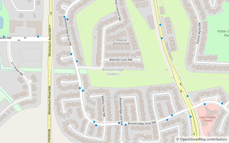
Potter Greens, Edmonton
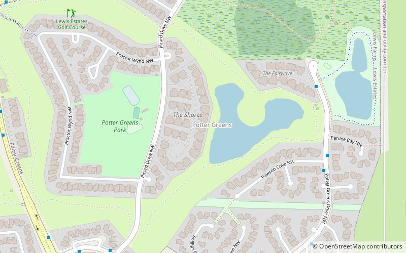
Map
Facts and practical information
Area: 0.41 mi²Coordinates: 53°31'4"N, 113°40'19"W
Address
West Edmonton (Potter Greens)Edmonton
ContactAdd
Social media
Add
Getting there by public transportation
Public transportation stops near this location
- Bus
 Bus
Bus
- Calculate routeLewis Estates Boulevard & Potters Green Drive 9 min walk
- Calculate routeSuder Greens Drive & 208 Street 9 min walk
Day trips

Frequently Asked Questions (FAQ)
Which popular attractions are close to Potter Greens?
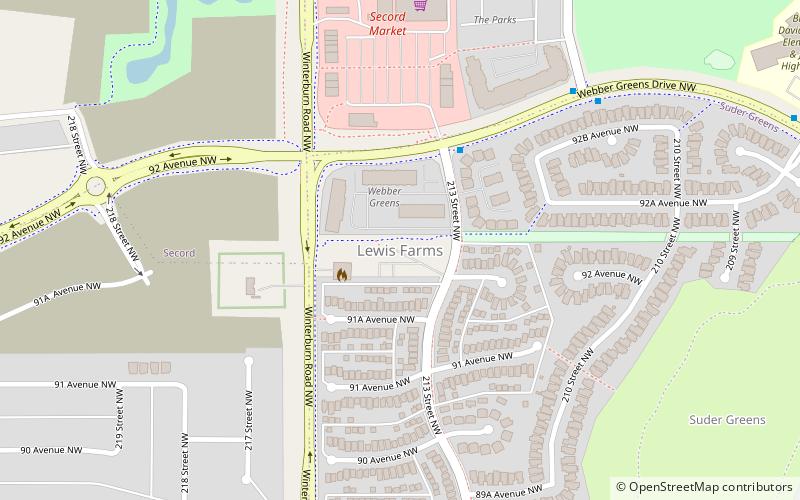
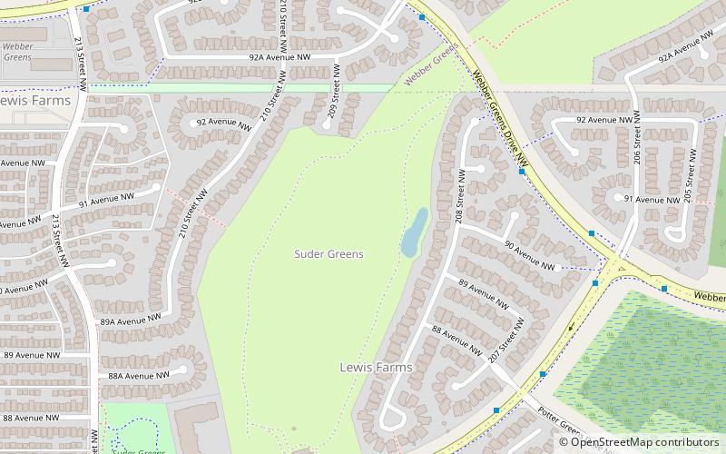
Nearby attractions include Breckenridge Greens, Edmonton (13 min walk), Suder Greens, Edmonton (15 min walk), Lewis Farms, Edmonton (22 min walk), Webber Greens, Edmonton (24 min walk).
How to get to Potter Greens by public transport?
The nearest stations to Potter Greens:
Bus
Bus
- Lewis Estates Boulevard & Potters Green Drive • Lines: 917 (9 min walk)
- Suder Greens Drive & 208 Street • Lines: 917 (9 min walk)