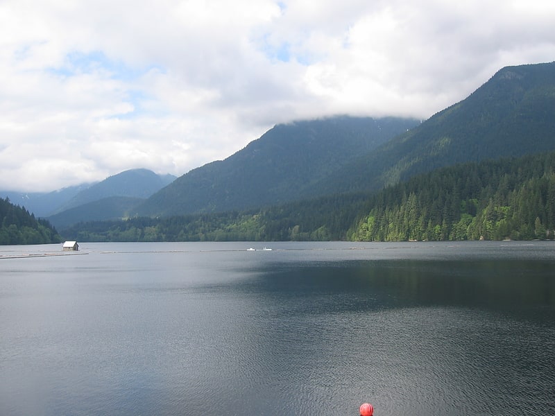
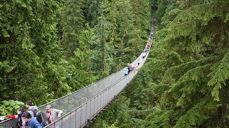
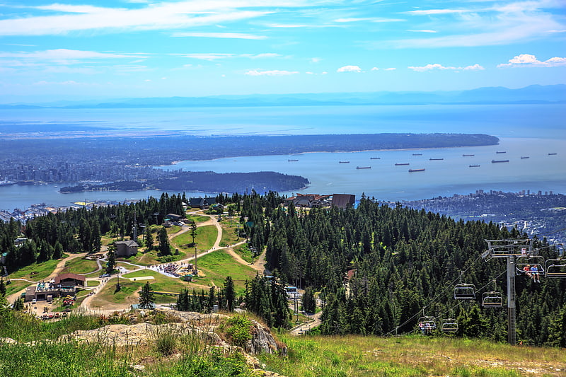
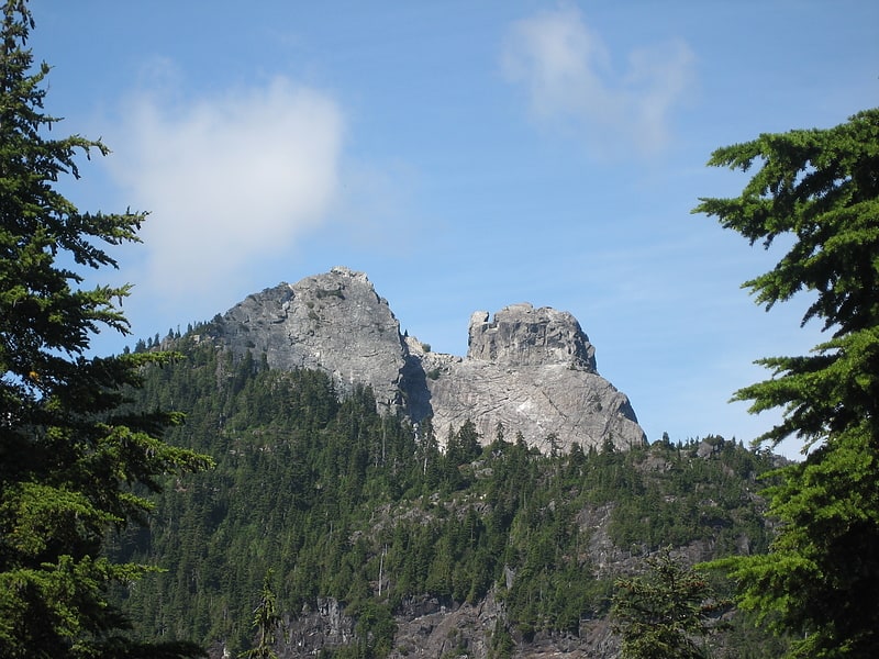
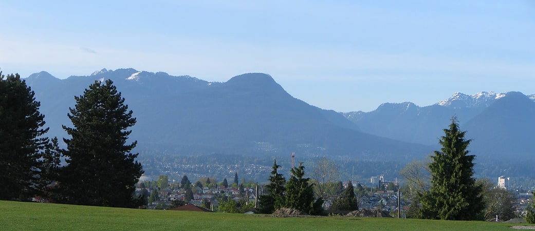
Capilano Lake, Vancouver
Gallery (1)
Map
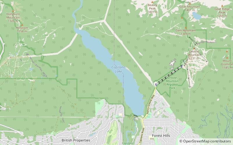
Map
Facts and practical information
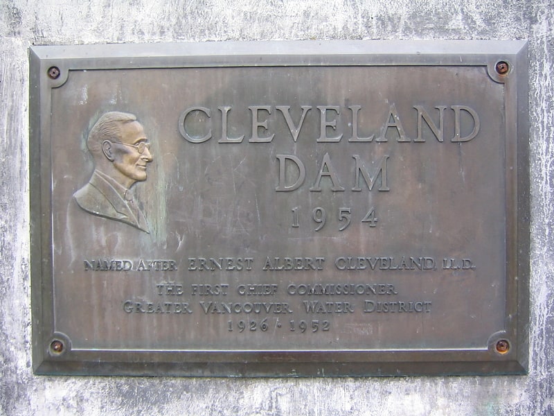
Capilano Lake is a manmade lake located in the District of North Vancouver and West Vancouver in British Columbia, Canada. ()
Alternative names: Length: 2.98 miWidth: 2461 ftAverage depth: 285 ftElevation: 476 ft a.s.l.Coordinates: 49°22'37"N, 123°7'19"W
Address
Vancouver
ContactAdd
Social media
Add
Getting there by public transportation
Public transportation stops near this location
- Bus
 Bus
Bus
- Calculate routeBonnymuir Dr at Unit Block 23 min walk
- Calculate routeSaint Andrews Rd at Ballantree Rd 28 min walk
Maps SkyTrain
SkyTrainDay trips


Frequently Asked Questions (FAQ)
How to get to Capilano Lake by public transport?
The nearest stations to Capilano Lake:
Bus
Bus
- Bonnymuir Dr at Unit Block • Lines: 254 (23 min walk)
- Saint Andrews Rd at Ballantree Rd • Lines: 254 (28 min walk)