Cleveland Dam, Vancouver
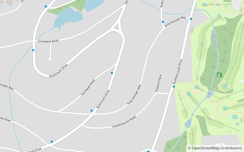
Map
Gallery
Facts and practical information
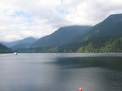
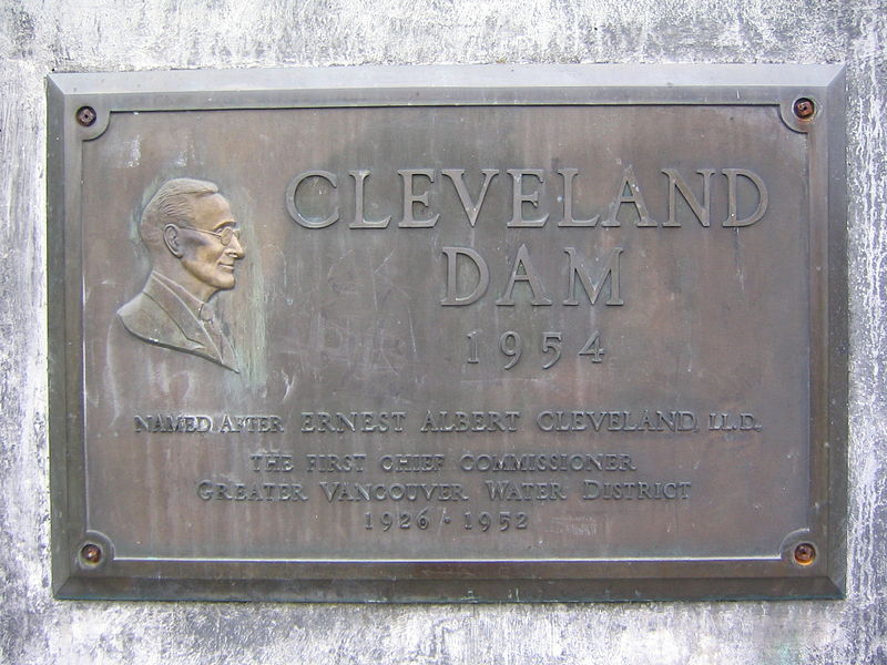
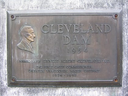
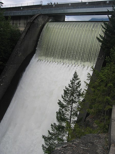
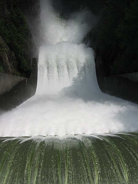
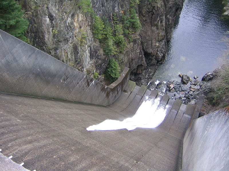
The Cleveland Dam is a 91-metre high concrete dam at the head of the Capilano River in North Vancouver, British Columbia, Canada that holds back Capilano Lake, also known as Capilano reservoir. Part of the Capilano River Regional Park, it stores a portion of the Lower Mainland's drinking water. It captures water from one of the three Metro Vancouver watersheds. Construction was started in 1951 and completed in 1954. ()
Opened: 1954 (72 years ago)Height: 299 ftElevation: 410 ft a.s.l.Coordinates: 49°21'36"N, 123°6'40"W
Day trips
Cleveland Dam – popular in the area (distance from the attraction)
Nearby attractions include: Capilano Suspension Bridge, The Grouse Grind, Capilano River Regional Park, Capilano Lake.
Frequently Asked Questions (FAQ)
How to get to Cleveland Dam by public transport?
The nearest stations to Cleveland Dam:
Bus
Bus
- Capilano Rd at Clements Ave • Lines: 232, 236 (6 min walk)
- Nancy Greene Way at Blue Grouse Way • Lines: 232, 236 (11 min walk)


 SkyTrain
