Saint-Sauveur


Facts and practical information
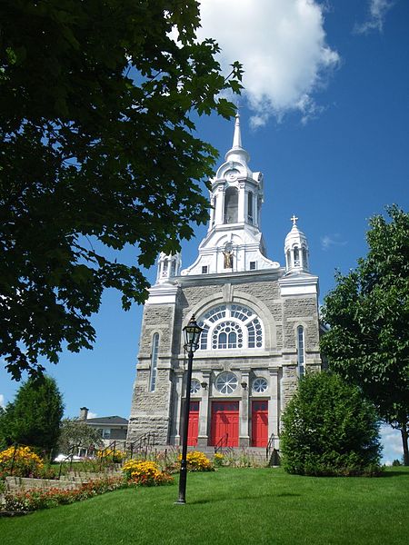
Nestled in the heart of the Laurentian Mountains, Saint-Sauveur is a charming town in the Québec region of Canada. Known for its picturesque landscapes and vibrant atmosphere, Saint-Sauveur is a popular destination for outdoor enthusiasts and culture seekers alike.
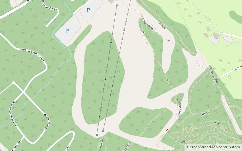
One of the main attractions in Saint-Sauveur is the Mont Saint-Sauveur, a renowned ski resort that offers exhilarating slopes for skiers and snowboarders of all levels. During the summer months, the mountain transforms into a playground for hikers and mountain bikers, with numerous trails to explore and stunning views to take in.
In addition to its outdoor activities, Saint-Sauveur is also home to a thriving arts and culture scene. Visitors can explore the town's art galleries, showcasing the work of local and international artists, or catch a live performance at one of the many theaters and music venues in the area.
For those seeking a taste of Québec's culinary delights, Saint-Sauveur offers a diverse array of restaurants and eateries, serving up everything from traditional Québécois cuisine to international fare. The town's bustling streets are lined with charming cafés and bistros, perfect for enjoying a leisurely meal or sipping on a cup of locally roasted coffee.
Saint-Sauveur is also a shopper's paradise, with an abundance of boutiques, artisanal shops, and markets offering everything from handmade crafts to high-end fashion. Whether you're looking for a unique souvenir or a stylish new wardrobe, you're sure to find something to suit your taste in this vibrant town.
Best Time To Visit Saint-Sauveur
Learn when is the best time to travel to Saint-Sauveur weather-wise and what to expect in each season.