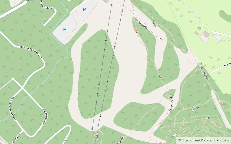
Trek Zone

Ski Chantecler

#361 among destinations in Canada

Winter sport, Ski area
Ski Chantecler location map
Map

Facts and practical information

Longest run: 10.56 miBase elevation: 899 ftTop elevation: 1499 ftCoordinates: 45°57'26"N, 74°10'21"W
Location

432 Chemin du Mont Loup GarouQuébecCanada

Contact
Social media
Add
Day trips

Ski Chantecler – popular in the area (distance from the attraction)

Nearby attractions include: Mont Saint-Sauveur, Mont Olympia, Au Pays Des Merveilles, Club de golf le Chantecler.

  • mont saint sauveur5.4 miS
  • mont olympia4 miSE
  • au pays des merveilles sainte adele1.3 miN
  • club de golf le chantecler sainte adele0.5 miNE
  • club de golf alpine sainte adele3.2 miNE
  • saint sauveur4.4 miS
  • morin heights5.4 miSW
  • val david5.2 miN
  • sainte marguerite du lac masson7.6 miNE

Where to next? Visit quebec Québec region page or discover the top tourist attractions in Canada.