St. Jerome's University, Waterloo
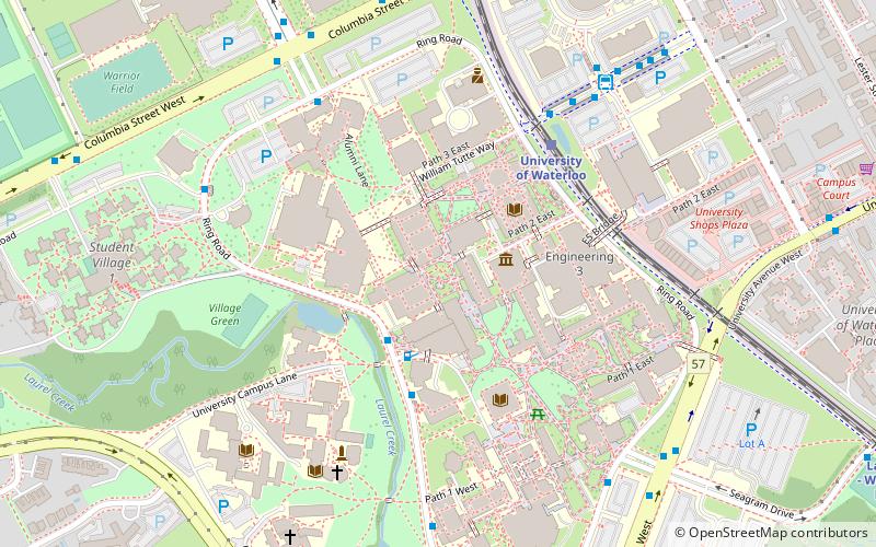
Map
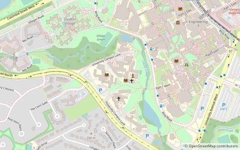
Map

Facts and practical information
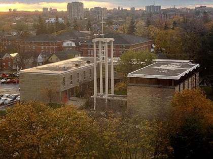
St. Jerome's University, commonly shortened to St. Jerome's or SJU, is a public Roman Catholic university in Waterloo, Ontario. It is federated with the University of Waterloo. St. Jerome's, within the University of Waterloo, combines academics and a residence. Students may both reside at and take classes through St. Jerome's, live at SJU in residence but take classes elsewhere, or live in another residence but take classes at St. Jerome's. ()
Established: 1865 (161 years ago)Coordinates: 43°28'8"N, 80°32'47"W
Day trips
St. Jerome's University – popular in the area (distance from the attraction)
Nearby attractions include: Canadian Clay and Glass Gallery, Waterloo Park, Brubacher House, University of Waterloo Faculty of Mathematics.
Frequently Asked Questions (FAQ)
Which popular attractions are close to St. Jerome's University?
Nearby attractions include Renison University College, Waterloo (2 min walk), Conrad Grebel University College, Waterloo (5 min walk), Quantum Nano Quad, Waterloo (6 min walk), University of Waterloo Faculty of Mathematics, Waterloo (8 min walk).
How to get to St. Jerome's University by public transport?
The nearest stations to St. Jerome's University:
Bus
Light rail
Bus
- Ring Rd. / U.W. - Quantum Nano Centre • Lines: 30 (4 min walk)
Light rail
- University of Waterloo • Lines: 301 (11 min walk)
- Laurier - Waterloo Park • Lines: 301 (15 min walk)


