Belgravia, Edmonton
Map

Map

Facts and practical information
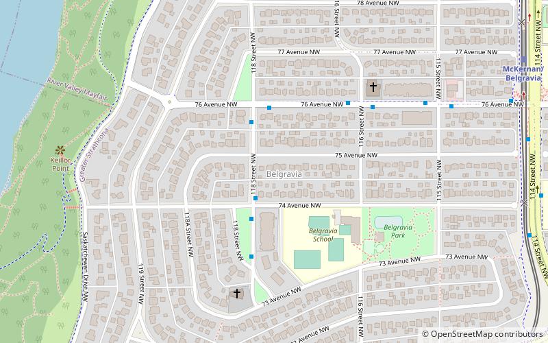
Belgravia is a residential neighbourhood located in Edmonton, Alberta. It is located southwest of the University of Alberta main campus. Named after the Belgravia area of 19th-century London, the neighbourhood was once the southern terminus of the Edmonton Radial Railway. The McKernan/Belgravia LRT Station is located adjacent to the neighbourhood at the northwest corner of 114 Street and 76 Avenue in neighbouring McKernan. ()
Area: 214.98 acres (0.3359 mi²)Coordinates: 53°30'40"N, 113°32'2"W
Address
Southwest Edmonton (Belgravia)Edmonton
ContactAdd
Social media
Add
Day trips
Belgravia – popular in the area (distance from the attraction)
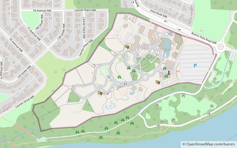
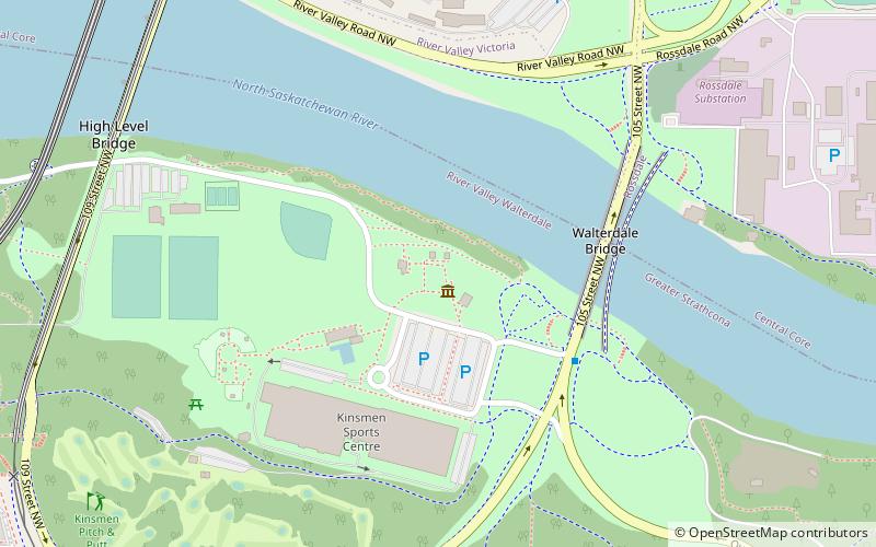
Nearby attractions include: William Hawrelak Park, Edmonton Valley Zoo, Metro Cinema, Northern Alberta Jubilee Auditorium.
Frequently Asked Questions (FAQ)
Which popular attractions are close to Belgravia?
Nearby attractions include McKernan, Edmonton (14 min walk), Northern Alberta Jubilee Auditorium, Edmonton (20 min walk), Parkallen, Edmonton (22 min walk), University of Alberta, Edmonton (24 min walk).
How to get to Belgravia by public transport?
The nearest stations to Belgravia:
Bus
Light rail
Bus
- Belgravia Road & 116 Street • Lines: 4 (8 min walk)
- 114 Street & 76 Ave • Lines: 4, ETS Route 920X (9 min walk)
Light rail
- McKernan/Belgravia • Lines: 501, 502 (9 min walk)
- South Campus/Fort Edmonton Park • Lines: 501, 502 (16 min walk)


