Brown's Corners, Markham

Map
Facts and practical information
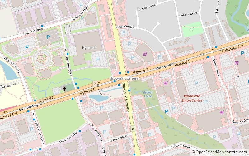
Brown's Corners is an unincorporated community in Markham, Regional Municipality of York in the Greater Toronto Area of Ontario, Canada and located near the corner of Woodbine Avenue and Highway 7. The community, founded in 1842, was named for local settler Alexander Brown, Sr. who acquired 100 acres in 1838. Beaver Creek flows through it. ()
Coordinates: 43°50'60"N, 79°21'29"W
Address
ButtonvilleMarkham
ContactAdd
Social media
Add
Day trips
Brown's Corners – popular in the area (distance from the attraction)
Nearby attractions include: First Markham Place, Flato Markham Theatre, Markham Civic Centre, Town of Richmond Hill.
Frequently Asked Questions (FAQ)
How to get to Brown's Corners by public transport?
The nearest stations to Brown's Corners:
Bus
Bus
- Highway 7 / Woodbine Avenue • Lines: 1, 300 (1 min walk)
- Woodbine Avenue • Lines: Purple, Purple A (1 min walk)


