Markham Civic Centre, Markham
Map

Map

Facts and practical information
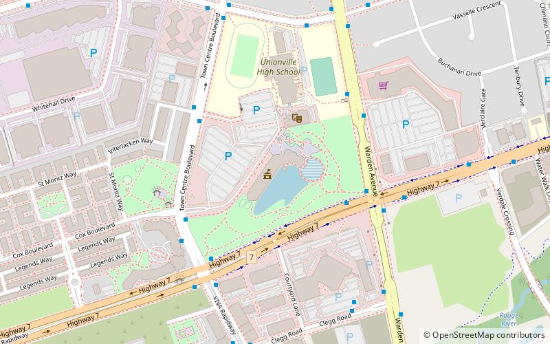
The Markham Civic Centre is the city hall of the city of Markham, Ontario. The brick and glass Civic Centre was designed by architect Arthur Erickson with Richard Stevens Architects Limited and opened on May 25, 1990. Entrances, except the great hall entrance, are named after communities in Markham. The building is adjacent to an 11.5-hectare park with a large pond reflecting the south façade. ()
Coordinates: 43°51'23"N, 79°20'13"W
Address
101 Town Centre BlvdUnionvilleMarkham
ContactAdd
Social media
Add
Day trips
Markham Civic Centre – popular in the area (distance from the attraction)
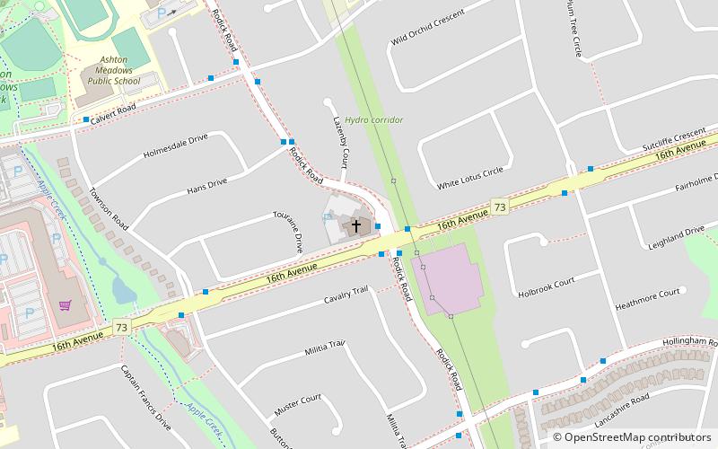
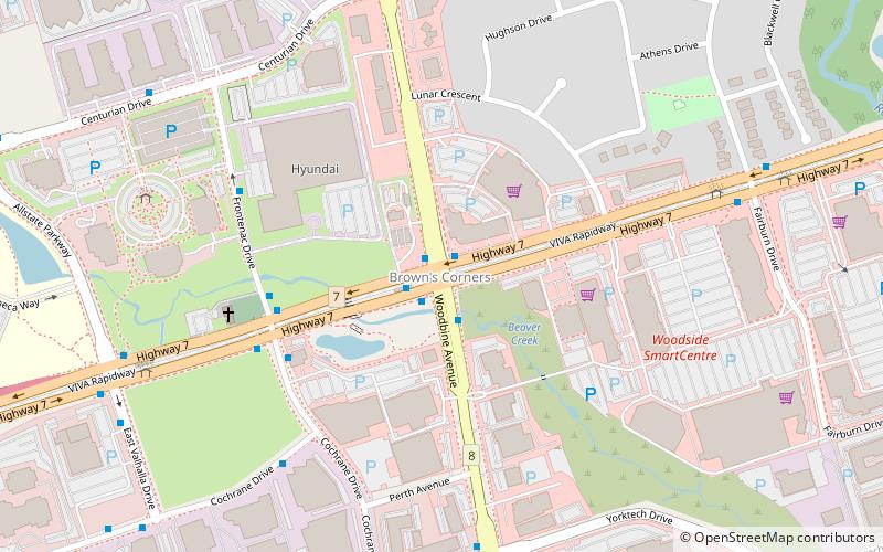
Nearby attractions include: First Markham Place, Varley Art Gallery, Flato Markham Theatre, St. Agnes Kouying Tsao Catholic Church.
Frequently Asked Questions (FAQ)
Which popular attractions are close to Markham Civic Centre?
Nearby attractions include Flato Markham Theatre, Markham (3 min walk), Motorola Canada head office, Markham (18 min walk).
How to get to Markham Civic Centre by public transport?
The nearest stations to Markham Civic Centre:
Bus
Train
Bus
- Town Centre Boulevard / Wallis Way • Lines: 302, 40 (4 min walk)
- Warden Avenue / Highway 7 • Lines: 302, 40, 68B (5 min walk)
Train
- Unionville (30 min walk)


