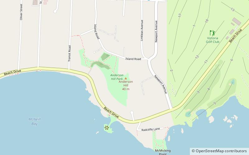
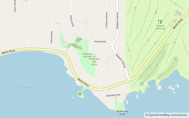
Anderson Hill Park, Victoria
Map
Facts and practical information
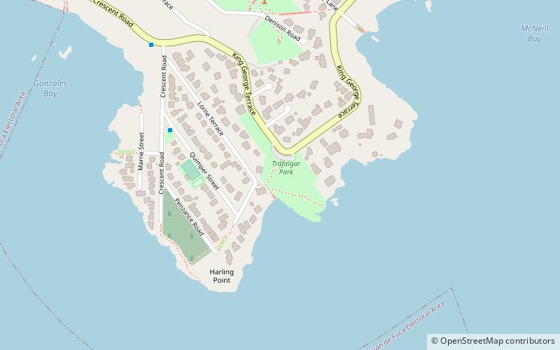
Anderson Hill Park is a place located in Victoria (British Columbia province) and belongs to the category of park, relax in park.
It is situated at an altitude of 121 feet, and its geographical coordinates are 48°24'46"N latitude and 123°18'22"W longitude.
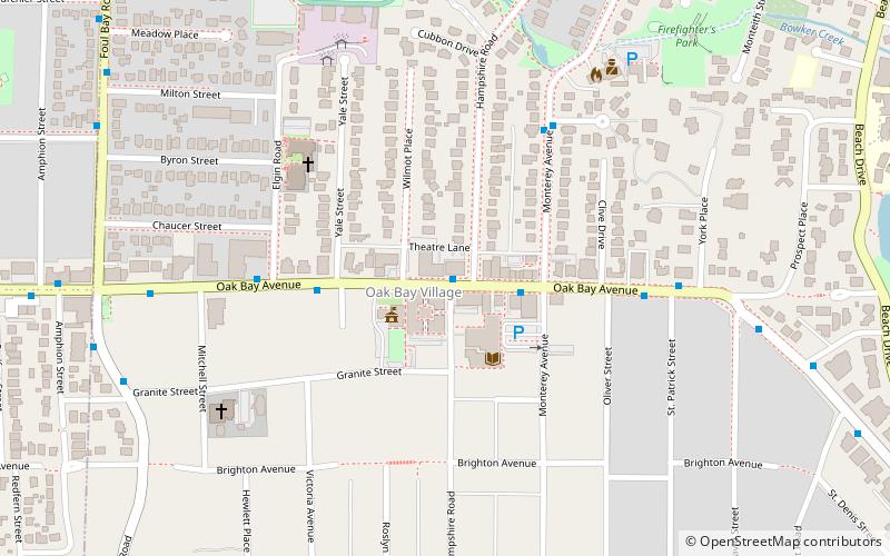
Planning a visit to this place, one can easily and conveniently get there by public transportation. Anderson Hill Park is a short distance from the following public transport stations: Central at Bynd (bus, 7 min walk).
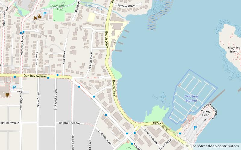
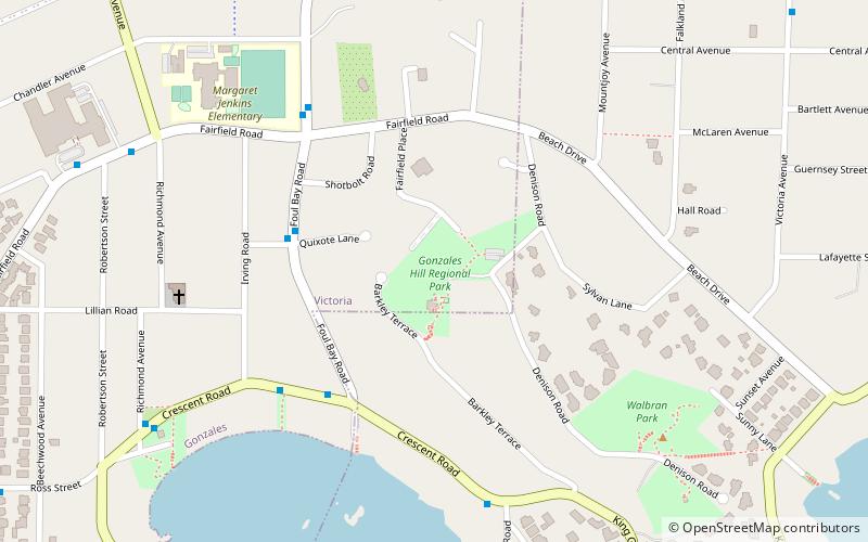
Among other places and attractions worth visiting in the area are: Vancouver Island Trail (hiking, 1 min walk), Victoria Golf Club (golf, 8 min walk), South Oak Bay (neighbourhood, 12 min walk).
Elevation: 121 ft a.s.l.Coordinates: 48°24'46"N, 123°18'22"W
Getting there by public transportation
Public transportation stops near this location
- Bus
 Bus
Bus
- Calculate routeCentral at Bynd 7 min walk
- Calculate routeOak Bay Terminus 10 min walk
Day trips


Frequently Asked Questions (FAQ)
Which popular attractions are close to Anderson Hill Park?
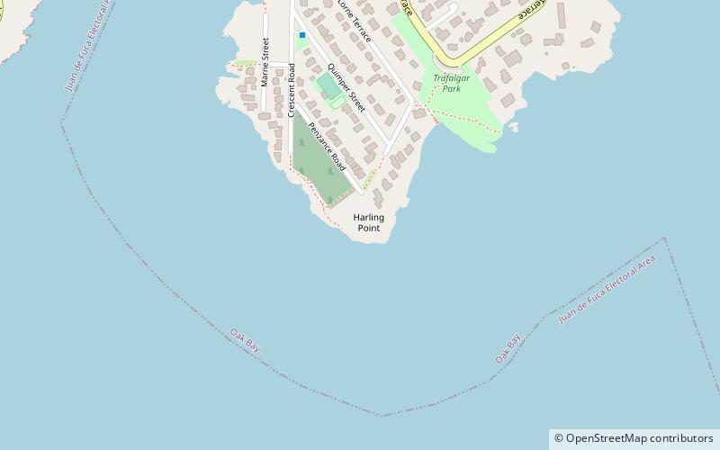
Nearby attractions include South Oak Bay, Victoria (12 min walk), Trafalgar Park, Victoria (19 min walk), Oak Bay Marina, Victoria (22 min walk), Gonzales Hill Regional Park, Victoria (23 min walk).
How to get to Anderson Hill Park by public transport?
The nearest stations to Anderson Hill Park:
Bus
Bus
- Central at Bynd • Lines: 1, 2 (7 min walk)
- Oak Bay Terminus • Lines: 1, 2 (10 min walk)