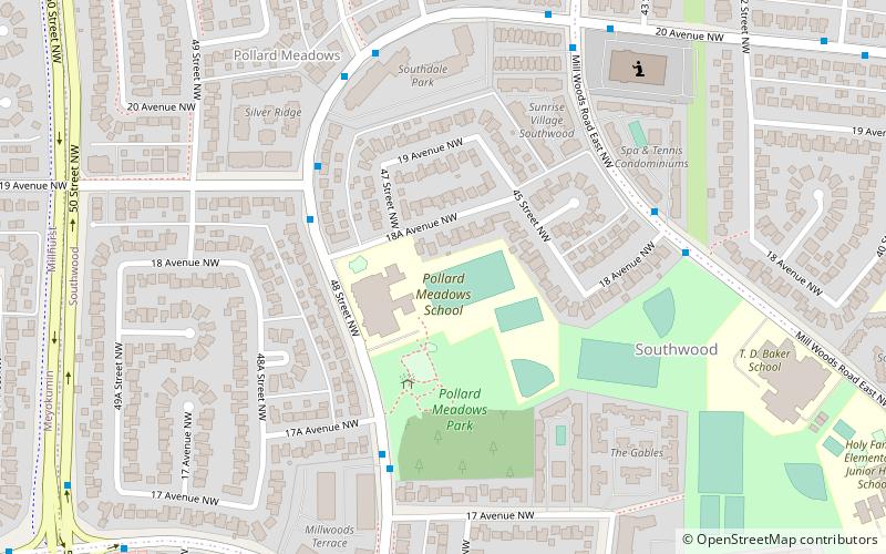
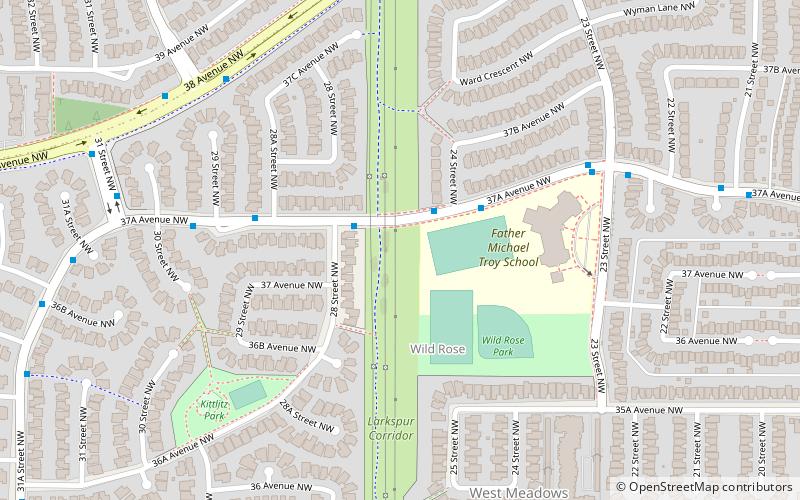
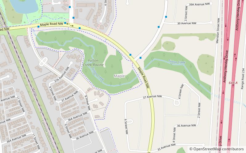
Trek Zone

Maple, Edmonton

#369 among attractions in Edmonton

Neighbourhood
Maple location map
Map

Facts and practical information

Area: 0.71 mi²Coordinates: 53°28'27"N, 113°21'4"W
Address

Southeast Edmonton (Maple)Edmonton Canada

ContactAdd
Social media
Add
Day trips

Maple – popular in the area (distance from the attraction)

Nearby attractions include: Woodvale, Millhurst, Burnewood, Pollard Meadows.

  • woodvale edmonton location map
    3.2 miW
  • millhurst edmonton location map
    3 miSW
  • burnewood edmonton location map
    2.1 miW
  • pollard meadows edmonton location map
    3 miSW
  • tamarack edmonton location map
    0.8 miSW
  • minchau edmonton location map
    2.5 miW
  • weinlos edmonton location map
    2.8 miW
  • wild rose edmonton location map
    1.2 miW
  • laurel edmonton location map
    2.3 miSW
  • tawa edmonton3.3 miW
  • daly grove edmonton location map
    2.6 miSW

Frequently Asked Questions (FAQ)

How to get to Maple by public transport?

The nearest stations to Maple:

Bus
  • 3608 • Lines: 507 (12 min walk)
  • Meadows Transit Centre (20 min walk)

Where to next? Visit alberta Alberta region page or discover the top tourist attractions in Canada.