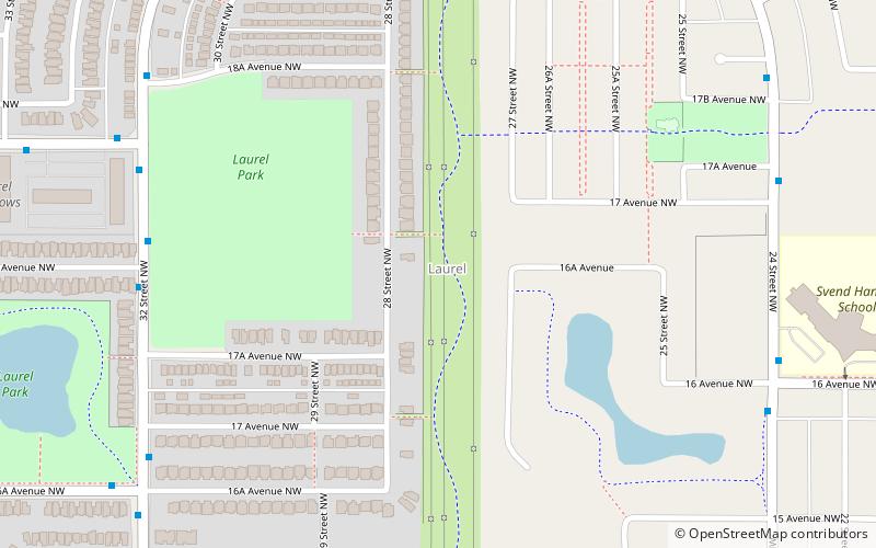
Trek Zone

Laurel, Edmonton

#345 among attractions in Edmonton

Neighbourhood
Laurel location map
Map

Facts and practical information

Area: 1.08 mi²Coordinates: 53°26'46"N, 113°22'55"W
Address

Southeast Edmonton (Laurel)Edmonton Canada

ContactAdd
Social media
Add
Day trips

Laurel – popular in the area (distance from the attraction)

Nearby attractions include: Millhurst, Pollard Meadows, Daly Grove, Silver Berry.

  • millhurst edmonton location map
    1 miW
  • pollard meadows edmonton location map
    1.2 miW
  • daly grove edmonton location map
    0.8 miW
  • silver berry edmonton location map
    0.9 miN
  • bisset edmonton location map
    1.2 miNW
  • crawford plains edmonton location map
    1.1 miW

Frequently Asked Questions (FAQ)

Which popular attractions are close to Laurel?

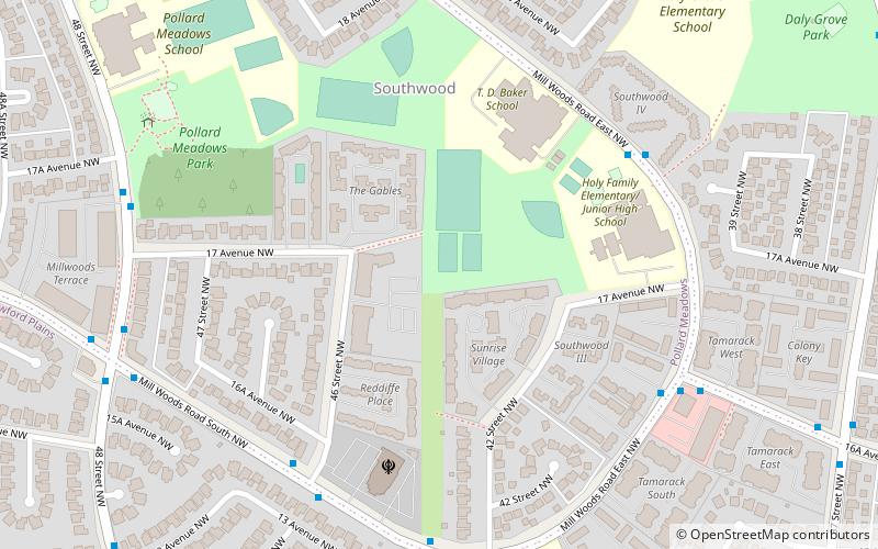
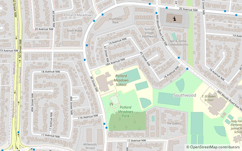
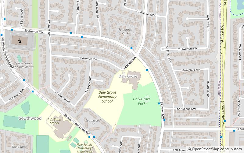
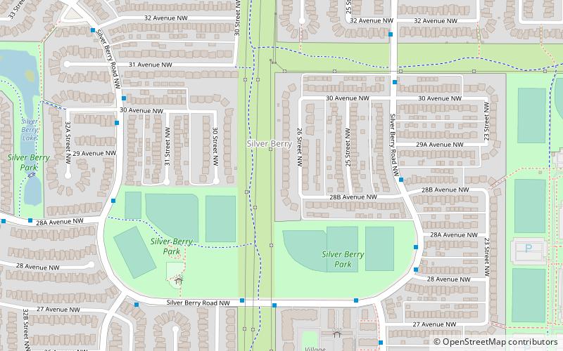
Nearby attractions include Daly Grove, Edmonton (21 min walk), Silver Berry, Edmonton (24 min walk).

Where to next? Visit alberta Alberta region page or discover the top tourist attractions in Canada.