St. Patrick's Market, Toronto

Gallery (1)
Map
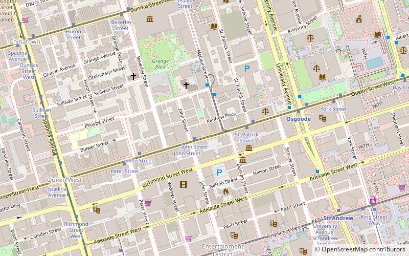
Map
Facts and practical information
St. Patrick's Market is one of three public markets created in Toronto in the 19th century along with St. Lawrence Market and St. Andrew's Market. The current structure on the lot was built in 1912 and was designated a heritage site by the City of Toronto in 1975. ()
Coordinates: 43°39'1"N, 79°23'26"W
Getting there by public transportation
Public transportation stops near this location
- Metro
- Bus
- Tram
- Train
- Ferry
 Metro
Metro
- Calculate routeJohn Street 2 min walk
- Calculate routeSt. Patrick Street 3 min walk
- Calculate routeSoho Street 4 min walk
- Calculate routeUniversity Avenue 5 min walk
- Calculate routeOsgoode 6 min walk
- Calculate routeSt. Andrew 9 min walk
- Calculate routeSt. Patrick 9 min walk
- Calculate routeQueen 15 min walk
- Calculate routeAlbert Street 12 min walk
- Calculate routeQueen Street West 12 min walk
- Calculate routeHagerman Street 12 min walk
- Calculate routeAdelaide Street West 13 min walk
- Calculate routeToronto Union Station 17 min walk
- Calculate routeJack Layton Ferry Terminal 27 min walk
- Calculate routeBathurst Street Terminal 31 min walk
Maps SubwayMaps
 Streetcar systemMaps
 PATH
PATH
SubwayMapsStreetcar systemMapsPATHDay trips
St. Patrick's Market – popular in the area (distance from the attraction)
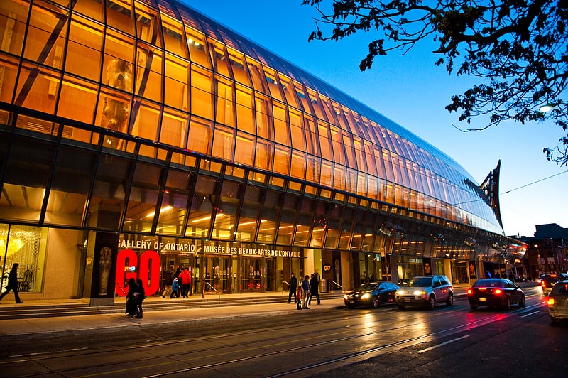
Nearby attractions include: Art Gallery of Ontario, OCAD University, Law Society of Ontario Archives, Campbell House.


Frequently Asked Questions (FAQ)
Which popular attractions are close to St. Patrick's Market?
Nearby attractions include Breakfast Television, Toronto (2 min walk), Queen Street West, Toronto (3 min walk), Onsite Gallery, Toronto (3 min walk), Canada Life Building, Toronto (4 min walk).
How to get to St. Patrick's Market by public transport?
The nearest stations to St. Patrick's Market:
Tram
Metro
Bus
Train
Ferry
Tram
- John Street • Lines: 501, 501;301 (2 min walk)
- St. Patrick Street • Lines: 501, 501;301 (3 min walk)
Metro
- Osgoode • Lines: 1 (6 min walk)
- St. Andrew • Lines: 1 (9 min walk)
Bus
- Albert Street • Lines: 19 (12 min walk)
- Queen Street West • Lines: 19 (12 min walk)
Train
- Toronto Union Station (17 min walk)
Ferry
- Jack Layton Ferry Terminal • Lines: Toronto Island Ferry, Ward's Island (27 min walk)
- Bathurst Street Terminal • Lines: Billy Bishop Airport Ferry (31 min walk)