Grange Park, Toronto
Map
Gallery
Facts and practical information
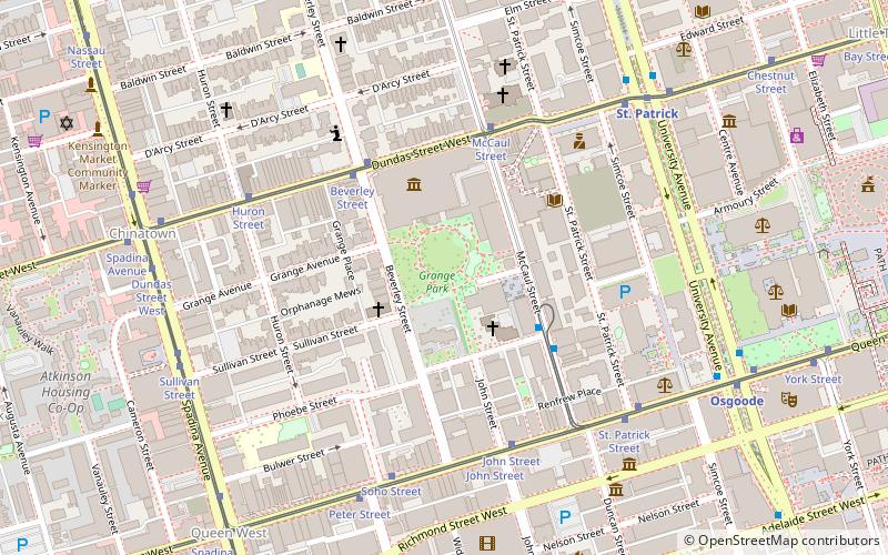
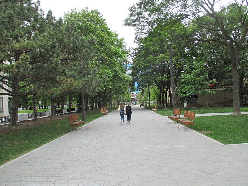
Grange Park is a prominent and well-used public park in downtown Toronto, Ontario, Canada, located south of the Art Gallery of Ontario, beside the Ontario College of Art and Design University, and north of University Settlement House, at the north end of John Street. The Park lends its name to the Grange Park neighbourhood in the vicinity of the park. Historically, the park was the backyard of The Grange, a manor that eventually was expanded and became the Art Gallery of Ontario. ()
Created: 1911Elevation: 302 ft a.s.l.Coordinates: 43°39'8"N, 79°23'32"W
Day trips
Grange Park – popular in the area (distance from the attraction)
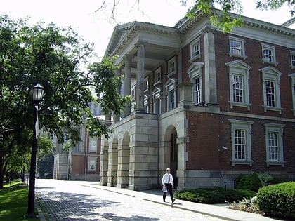
Nearby attractions include: Art Gallery of Ontario, OCAD University, Law Society of Ontario Archives, Campbell House.
Frequently Asked Questions (FAQ)
Which popular attractions are close to Grange Park?
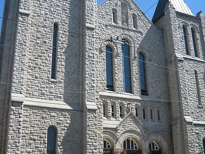
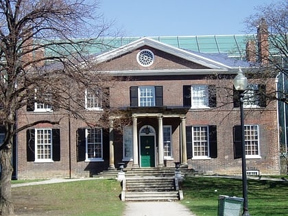
Nearby attractions include The Grange, Toronto (2 min walk), Toronto Chinese Baptist Church, Toronto (2 min walk), OCAD University, Toronto (2 min walk), Art Gallery of Ontario, Toronto (3 min walk).
How to get to Grange Park by public transport?
The nearest stations to Grange Park:
Tram
Metro
Bus
Train
Ferry
Tram
- Beverley Street • Lines: 505 (4 min walk)
- McCaul Street • Lines: 505 (4 min walk)
Metro
- St. Patrick • Lines: 1 (7 min walk)
- Osgoode • Lines: 1 (8 min walk)
Bus
- Hagerman Street • Lines: 19 (13 min walk)
- Albert Street • Lines: 19 (13 min walk)
Train
- Toronto Union Station (21 min walk)
Ferry
- Jack Layton Ferry Terminal • Lines: Toronto Island Ferry, Ward's Island (31 min walk)
 Subway
 Streetcar system
 PATH
PATH


