Kugluk/Bloody Falls Territorial Park
Map

Gallery

Facts and practical information
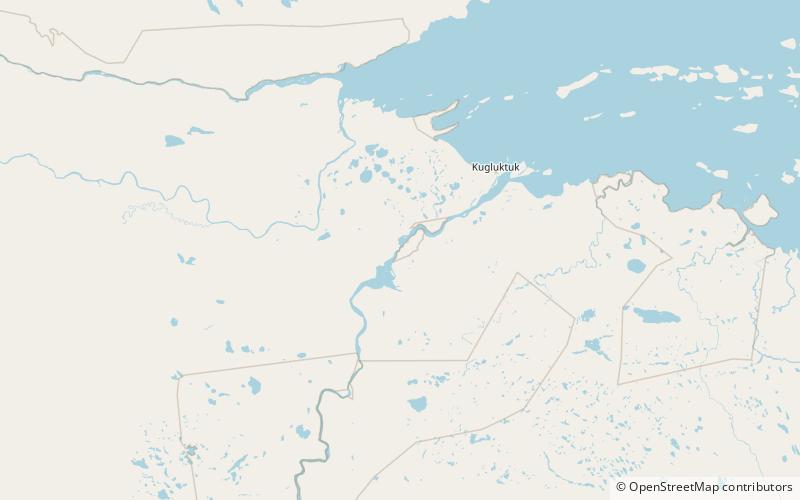
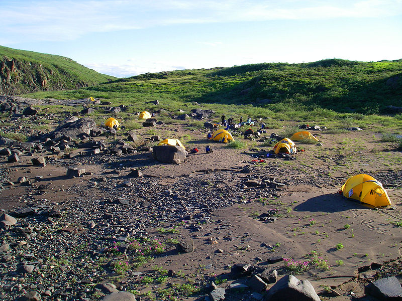
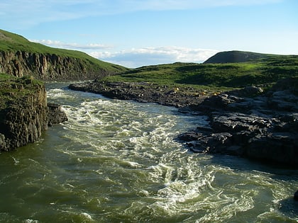
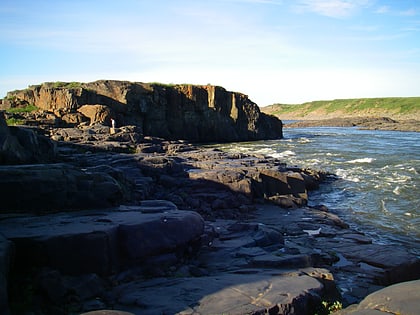
Kugluk/Bloody Falls Territorial Park is located about 15 km southwest of Kugluktuk, Nunavut, Canada. The 10 hectares park is situated around the Bloody Falls on the Coppermine River and was listed as a national historic site in 1978. ()
Area: 3.21 mi²Elevation: 95 ft a.s.l.Coordinates: 67°44'24"N, 115°22'12"W
Location
Nunavut
ContactAdd
Social media
Add
Day trips
Kugluk/Bloody Falls Territorial Park – popular in the area (distance from the attraction)
Nearby attractions include: Bloody Falls.

