Abbot Pass, Banff National Park
Map

Map

Facts and practical information
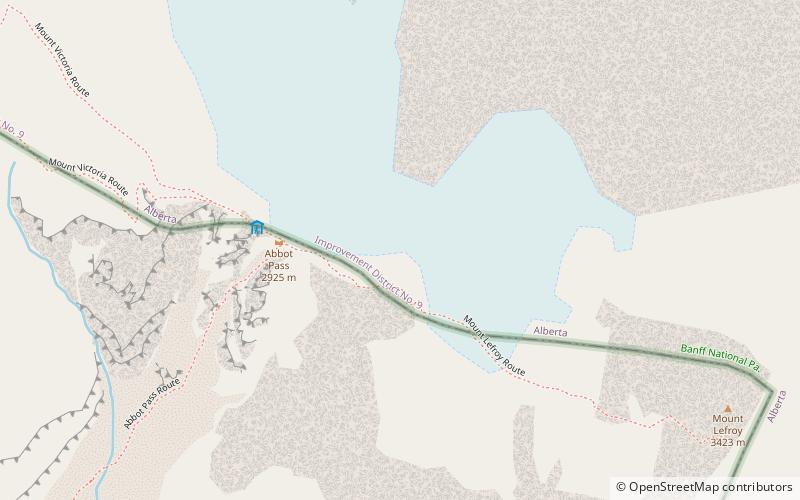
Abbot Pass lies between Mount Lefroy and Mount Victoria, in the divide between the valleys of Lake O'Hara and Lake Louise. It was named for Philip Stanley Abbot who died in 1896 in an attempt to climb Mount Lefroy with Charles Fay, Charles Thompson, and George T. Little. ()
Maximum elevation: 9596 ftCoordinates: 51°21'50"N, 116°17'13"W
Address
Banff National Park
ContactAdd
Social media
Add
Day trips
Abbot Pass – popular in the area (distance from the attraction)
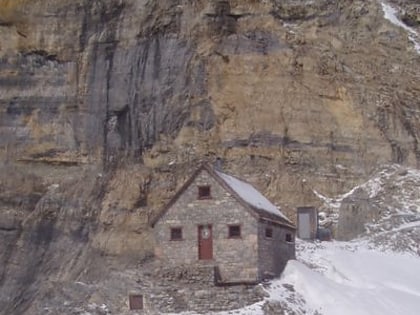
Nearby attractions include: Abbot Pass hut, Lake Oesa, Mount Huber, Mount Lefroy.
Frequently Asked Questions (FAQ)
Which popular attractions are close to Abbot Pass?
Nearby attractions include Abbot Pass hut, Yoho National Park (4 min walk), Mount Lefroy, Yoho National Park (10 min walk), Glacier Peak, Yoho National Park (24 min walk).


