Mount Victoria, Yoho National Park
Map

Map

Facts and practical information
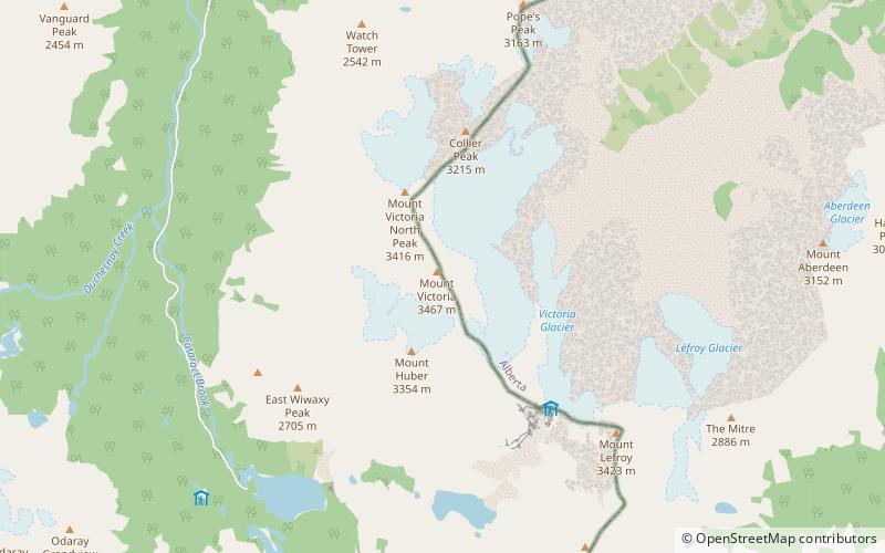
Mount Victoria, 3,464 metres, is a mountain on the border between British Columbia and Alberta in the Canadian Rockies. It is located just northeast of Lake O'Hara in Yoho National Park and is also part of Banff National Park and is on the Continental Divide. The mountain has two peaks, the south being the highest while the north peak is slightly lower at 3,388 metres. ()
Alternative names: First ascent: 1897Elevation: 11365 ftProminence: 1795 ftCoordinates: 51°22'37"N, 116°18'25"W
Address
Yoho National Park
ContactAdd
Social media
Add
Day trips
Mount Victoria – popular in the area (distance from the attraction)
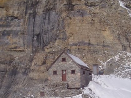
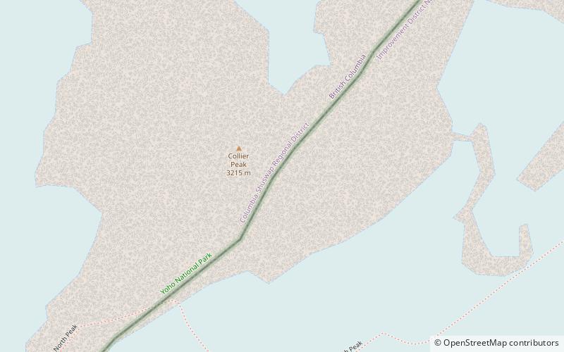
Nearby attractions include: Abbot Pass hut, Mount Huber, Collier Peak, Mount Lefroy.
Frequently Asked Questions (FAQ)
Which popular attractions are close to Mount Victoria?
Nearby attractions include Mount Huber, Yoho National Park (14 min walk), Wiwaxy Peak, Yoho National Park (23 min walk).


