Anvil Island

Gallery (1)
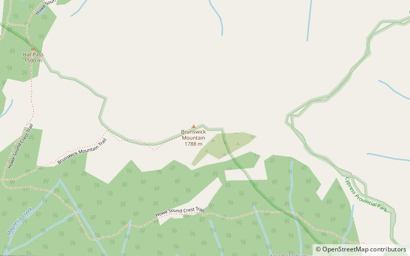
Map
Map
Facts and practical information
Anvil Island, is the third-largest of the islands in Howe Sound, British Columbia, Canada, and the northernmost of the major islands in that sound. The island is part of West Howe Sound, Electoral Area F within the Sunshine Coast Regional District on the Sunshine Coast. ()
Coordinates: 49°31'60"N, 123°18'29"W
Location
British Columbia
ContactAdd
Social media
Add
Day trips