Mount Harvey

Gallery (1)
Map
Map
Facts and practical information
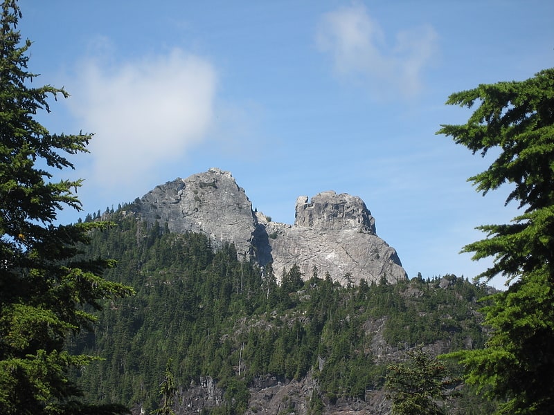
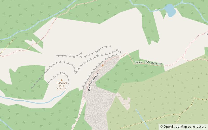
Mount Harvey, 1,652 m, is a mountain in the Britannia Range of the North Shore Mountains just northeast of the Village of Lions Bay, British Columbia, Canada. ()
Elevation: 5420 ftProminence: 663 ftCoordinates: 49°28'31"N, 123°11'60"W
Location
British Columbia
ContactAdd
Social media
Add
Day trips