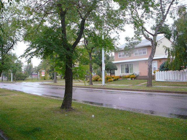
Inglewood, Edmonton

Gallery (4)
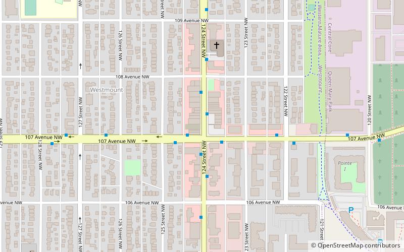
Map

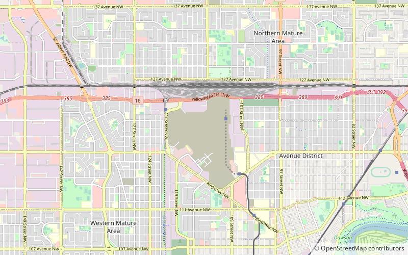
Map
Gallery
Facts and practical information
Inglewood is a residential neighbourhood in north west Edmonton, Alberta, Canada. ()
Area: 0.64 mi²Coordinates: 53°33'51"N, 113°32'24"W
Address
Northwest Edmonton (Inglewood)Edmonton
ContactAdd
Social media
Add
Getting there by public transportation
Public transportation stops near this location
- Bus
- Train
 Bus
Bus
- Calculate route127 Street & 114 Ave 3 min walk
- Calculate routeSt. Albert Trail & 114 Ave 6 min walk
- Calculate route124 Street & 113 Ave 7 min walk
- Calculate routeEdmonton 28 min walk
Day trips


Frequently Asked Questions (FAQ)
Which popular attractions are close to Inglewood?
Nearby attractions include Woodcroft, Edmonton (20 min walk), Prince Charles, Edmonton (21 min walk), Westmount, Edmonton (22 min walk), Sherbrooke, Edmonton (23 min walk).
How to get to Inglewood by public transport?
The nearest stations to Inglewood:
Bus
Train
Bus
- 127 Street & 114 Ave • Lines: 5 (3 min walk)
- St. Albert Trail & 114 Ave • Lines: 5 (6 min walk)
Train
- Edmonton (28 min walk)