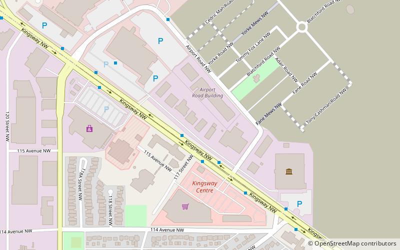
Blatchford, Edmonton
Map
Facts and practical information
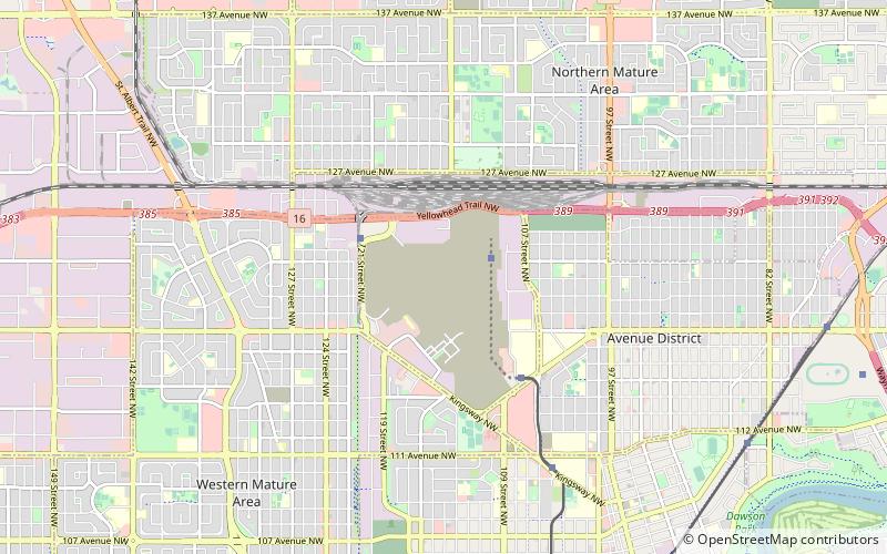
Blatchford is a carbon neutral community being developed on the site of the decommissioned City Centre Airport in Edmonton, Alberta. With an area of 2.17 km2, Blatchford is approximately the size of Edmonton's downtown core. It is planned to be a medium-high density neighbourhood which will rely on renewable energy and a district energy sharing system, contain two Light Rail Transit stations, and be carbon neutral. ()
Area: 0.84 mi²Coordinates: 53°34'31"N, 113°31'4"W
Address
North Central Edmonton (Edmonton Municipal Airport)Edmonton
ContactAdd
Social media
Add
Getting there by public transportation
Public transportation stops near this location
- Bus
- Light rail
- Train
 Bus
Bus
- Calculate routeEdmonton 15 min walk
- Calculate route106 Street & 117 Ave 21 min walk
- Calculate route109 Street & Princess Elizabeth Ave 22 min walk
- Calculate route124 Street & 114 Ave 29 min walk
- Calculate routeNait 21 min walk
Day trips


Frequently Asked Questions (FAQ)
Which popular attractions are close to Blatchford?
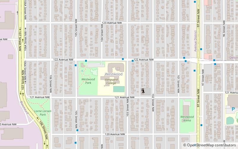
Nearby attractions include Alberta Aviation Museum, Edmonton (18 min walk), Prince Charles, Edmonton (20 min walk), Westwood, Edmonton (21 min walk).
How to get to Blatchford by public transport?
The nearest stations to Blatchford:
Train
Bus
Light rail
Train
- Edmonton (15 min walk)
Bus
- 106 Street & 117 Ave • Lines: 202, 560 (21 min walk)
- 109 Street & Princess Elizabeth Ave • Lines: 560 (22 min walk)
Light rail
- Nait • Lines: 502 (21 min walk)